Tawatawa Bay Area, Tawatawa Bay Postcode & Map in Tawatawa Bay
Tawatawa Bay Area, Tawatawa Bay Postcode & Map in Tawatawa Bay, Area outside Territorial Authority, New Zealand
Tawatawa Bay, Area outside Territorial Authority, New Zealand
Tawatawa Bay Area (estimated)
0.0 square kilometersTawatawa Bay Population (estimated)
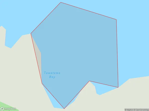
0 people live in Tawatawa Bay, Northland, NZTawatawa Bay Suburb Area Map (Polygon)
Tawatawa Bay Introduction
Tawatawa Bay is located in the Far North District of Northland, New Zealand. It is a small, shallow bay with a sandy beach and clear waters. The bay is popular for fishing, kayaking, and swimming, and is surrounded by native forests and scenic countryside. Tawatawa Bay is also home to a small community of people who live in the surrounding area.Region
Suburb Name
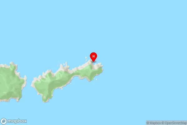
Tawatawa BayTawatawa Bay Area Map (Street)
Local Authority
Area outside Territorial AuthorityFull Address
Tawatawa Bay, Area outside Territorial Authority, New ZealandAddress Type
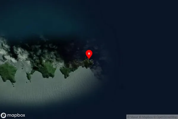
Coastal BayTawatawa Bay Suburb Map (Satellite)
Country
Main Region in AU
NorthlandTawatawa Bay Region Map

Coordinates
-35.8853277,174.780459 (latitude/longitude)Distances
The distance from Tawatawa Bay, , Area outside Territorial Authority to NZ Top 10 Cities