Tauranga Harbour Area, Tauranga Harbour Postcode(3175) & Map in Tauranga Harbour, Tauranga City
Tauranga Harbour Area, Tauranga Harbour Postcode(3175) & Map in Tauranga Harbour, Tauranga City, Western Bay of Plenty District, New Zealand
Tauranga Harbour, Tauranga City, Western Bay of Plenty District, New Zealand
Tauranga Harbour Postcodes
Tauranga Harbour Area (estimated)
-1.2 square kilometersTauranga Harbour Population (estimated)
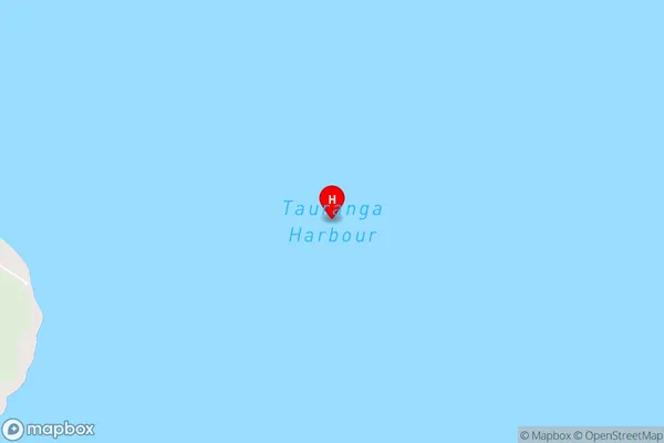
0 people live in Tauranga Harbour, Bay of Plenty, NZTauranga Harbour Suburb Area Map (Polygon)
Not available for nowTauranga Harbour Introduction
Tauranga Harbour is the second-largest harbor in New Zealand and is located in the Bay of Plenty region. It is a popular destination for boating, fishing, and swimming, with many scenic beaches and parks nearby. The harbor is also home to a large port, which handles a variety of cargo and passengers.Region
Suburb Name
Tauranga HarbourTauranga Harbour Area Map (Street)
Local Authority
Tauranga City, Western Bay of Plenty DistrictFull Address
Tauranga Harbour, Tauranga City, Western Bay of Plenty District, New ZealandAddress Type
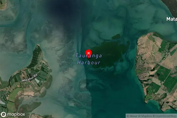
Coastal BayTauranga Harbour Suburb Map (Satellite)
Country
Main Region in AU
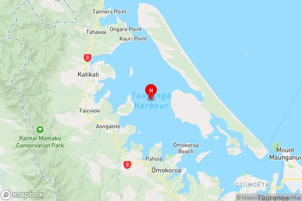
Bay of PlentyTauranga Harbour Region Map
Coordinates
-37.58045585,176.000962775114 (latitude/longitude)Distances
The distance from Tauranga Harbour, , Tauranga City, Western Bay of Plenty District to NZ Top 10 Cities