Taupata Bay Area, Taupata Bay Postcode & Map in Taupata Bay
Taupata Bay Area, Taupata Bay Postcode & Map in Taupata Bay, Area outside Territorial Authority, New Zealand
Taupata Bay, Area outside Territorial Authority, New Zealand
Taupata Bay Area (estimated)
-1.2 square kilometersTaupata Bay Population (estimated)
0 people live in Taupata Bay, Northland, NZTaupata Bay Suburb Area Map (Polygon)
Not available for nowTaupata Bay Introduction
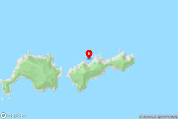
Taupata Bay is a small, sheltered bay located in the Far North District of Northland, New Zealand. It is known for its beautiful sandy beaches, clear waters, and stunning coastal scenery. The bay is a popular spot for swimming, snorkeling, and kayaking, and is home to a variety of marine life, including dolphins, whales, and seals. Taupata Bay is also a popular destination for fishing, with a variety of species available to catch, including kingfish, tarakihi, and blue marlin.Region
Suburb Name
Taupata BayTaupata Bay Area Map (Street)
Local Authority
Area outside Territorial AuthorityFull Address
Taupata Bay, Area outside Territorial Authority, New ZealandAddress Type
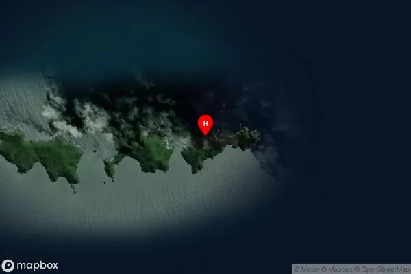
Coastal BayTaupata Bay Suburb Map (Satellite)
Country
Main Region in AU
NorthlandTaupata Bay Region Map

Coordinates
-35.8866185,174.7697169 (latitude/longitude)Distances
The distance from Taupata Bay, , Area outside Territorial Authority to NZ Top 10 Cities