Stockyard Bay Area, Stockyard Bay Postcode & Map in Stockyard Bay
Stockyard Bay Area, Stockyard Bay Postcode & Map in Stockyard Bay, Far North District, New Zealand
Stockyard Bay, Far North District, New Zealand
Stockyard Bay Area (estimated)
0.0 square kilometersStockyard Bay Population (estimated)
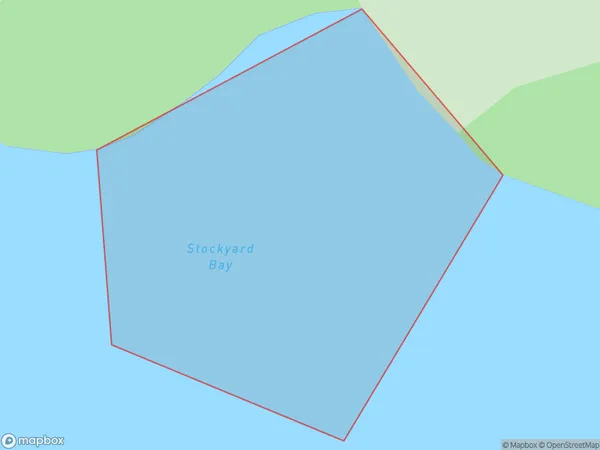
0 people live in Stockyard Bay, Bay of Islands-Whangaroa Community, NZStockyard Bay Suburb Area Map (Polygon)
Stockyard Bay Introduction
Stockyard Bay is a small bay located in the Northland region of New Zealand. It is situated between the towns of Whangarei and Dargaville and is known for its beautiful beaches, clear waters, and stunning coastal scenery. The bay is a popular spot for swimming, fishing, and kayaking, and is home to a variety of marine species, including dolphins, whales, and seals.Region
Major City
Suburb Name
Stockyard BayOther Name(s)
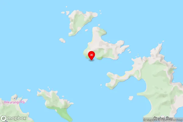
Bay Of IslandsStockyard Bay Area Map (Street)
Local Authority
Far North DistrictFull Address
Stockyard Bay, Far North District, New ZealandAddress Type
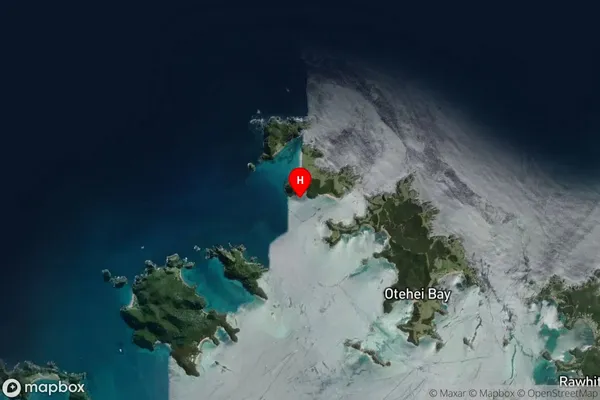
Coastal BayStockyard Bay Suburb Map (Satellite)
Country
Main Region in AU
NorthlandStockyard Bay Region Map

Coordinates
-35.2075673,174.2127055 (latitude/longitude)Distances
The distance from Stockyard Bay, , Far North District to NZ Top 10 Cities