Stevensons Arm Area, Stevensons Arm Postcode(9305) & Map in Stevensons Arm
Stevensons Arm Area, Stevensons Arm Postcode(9305) & Map in Stevensons Arm, Queenstown-Lakes District, New Zealand
Stevensons Arm, Queenstown-Lakes District, New Zealand
Stevensons Arm Postcodes
Stevensons Arm Area (estimated)
-1.2 square kilometersStevensons Arm Population (estimated)
0 people live in Stevensons Arm, Otago, NZStevensons Arm Suburb Area Map (Polygon)
Not available for nowStevensons Arm Introduction
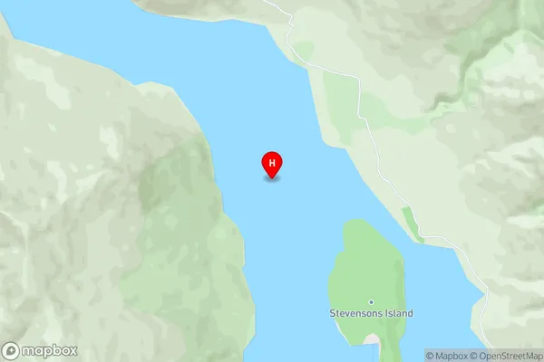
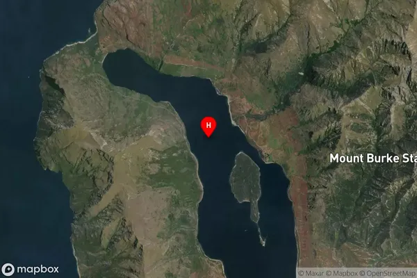
Stevensons Arm is a small, sheltered harbor located in the Otago region of New Zealand. It is situated at the southern end of Lake Wakatipu and is surrounded by stunning mountain scenery. The harbor is a popular destination for boating and fishing, and it is also home to a small community of residents. The area is known for its natural beauty and peaceful atmosphere, and it is a popular spot for hiking and camping.Region
Suburb Name
Stevensons ArmOther Name(s)
Lake Wanaka (Maori Name: Lake Wānaka)Stevensons Arm Area Map (Street)
Local Authority
Queenstown-Lakes DistrictFull Address
Stevensons Arm, Queenstown-Lakes District, New ZealandAddress Type
Inland BayStevensons Arm Suburb Map (Satellite)
Country
Main Region in AU
OtagoStevensons Arm Region Map

Coordinates
-44.588111,169.12625 (latitude/longitude)Distances
The distance from Stevensons Arm, , Queenstown-Lakes District to NZ Top 10 Cities