South Port Area, South Port Postcode(7969) & Map in South Port
South Port Area, South Port Postcode(7969) & Map in South Port, Southland District, New Zealand
South Port, Southland District, New Zealand
South Port Postcodes
South Port Area (estimated)
1.6 square kilometersSouth Port Population (estimated)
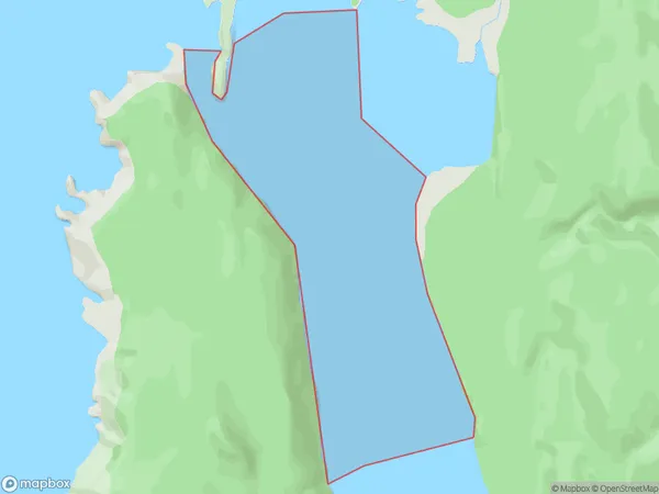
0 people live in South Port, Fiordland Community, NZSouth Port Suburb Area Map (Polygon)
South Port Introduction
South Port is a small town in Southland, New Zealand, located on the southern coast of the South Island. It is known for its scenic waterfront, fishing industry, and as a gateway to the Fiordland National Park. The town has a population of around 3,000 people and is surrounded by stunning natural landscapes, including mountains, forests, and lakes.Region
Major City
Suburb Name
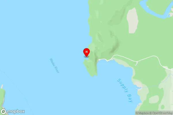
South PortSouth Port Area Map (Street)
Local Authority
Southland DistrictFull Address
South Port, Southland District, New ZealandAddress Type
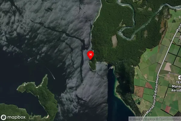
Coastal BaySouth Port Suburb Map (Satellite)
Country
Main Region in AU
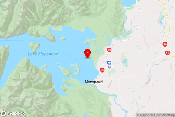
SouthlandSouth Port Region Map
Coordinates
-45.526725,167.598472 (latitude/longitude)Distances
The distance from South Port, , Southland District to NZ Top 10 Cities