South Fiord Area, South Fiord Postcode(9600) & Map in South Fiord
South Fiord Area, South Fiord Postcode(9600) & Map in South Fiord, Southland District, New Zealand
South Fiord, Southland District, New Zealand
South Fiord Postcodes
South Fiord Area (estimated)
-1.2 square kilometersSouth Fiord Population (estimated)
0 people live in South Fiord, Fiordland Community, NZSouth Fiord Suburb Area Map (Polygon)
Not available for nowSouth Fiord Introduction
South Fiord is a fjord in Fiordland National Park, Southland, New Zealand. It is located at the southern end of Milford Sound and is surrounded by high mountains. The fjord is 29 kilometers long and up to 1.2 kilometers wide. It was formed by glacial activity and is known for its stunning scenery, including waterfalls, glaciers, and wildlife. South Fiord is a popular destination for tourists and outdoor enthusiasts, and can be accessed by boat or hiking trails.Region
Major City
Suburb Name
South FiordOther Name(s)
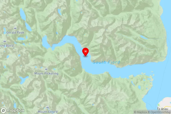
Lake Te AnauSouth Fiord Area Map (Street)
Local Authority
Southland DistrictFull Address
South Fiord, Southland District, New ZealandAddress Type
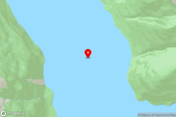
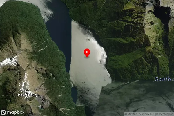
Inland BaySouth Fiord Suburb Map (Satellite)
Country
Main Region in AU
SouthlandSouth Fiord Region Map
Coordinates
-45.32663175,167.531903799786 (latitude/longitude)Distances
The distance from South Fiord, , Southland District to NZ Top 10 Cities