South East Bay / Opo Area, South East Bay / Opo Postcode & Map in South East Bay / Opo
South East Bay / Opo Area, South East Bay / Opo Postcode & Map in South East Bay / Opo, Area outside Territorial Authority, New Zealand
South East Bay / Opo, Area outside Territorial Authority, New Zealand
South East Bay / Opo Area (estimated)
0.1 square kilometersSouth East Bay / Opo Population (estimated)
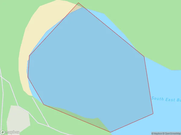
0 people live in South East Bay / Opo, Bay of Plenty, NZSouth East Bay / Opo Suburb Area Map (Polygon)
South East Bay / Opo Introduction
Opo is a small rural community in the Bay of Plenty, New Zealand. It is located on State Highway 2, 30 kilometers southeast of Tauranga and 12 kilometers northeast of Rotorua. The area is known for its scenic rural landscapes, including rolling hills, farmland, and native forests. Opo has a population of around 200 people and is a popular destination for outdoor activities such as hiking, cycling, and fishing. The community has a primary school, a post office, and a small supermarket.Region
Suburb Name
South East Bay / OpoOther Name(s)
Bay Of Plenty, Opo, South East BaySouth East Bay / Opo Area Map (Street)

Local Authority
Area outside Territorial AuthorityFull Address
South East Bay / Opo, Area outside Territorial Authority, New ZealandAddress Type
Coastal BaySouth East Bay / Opo Suburb Map (Satellite)

Country
Main Region in AU
Bay of PlentySouth East Bay / Opo Region Map

Coordinates
-37.30652605,176.259076654508 (latitude/longitude)Distances
The distance from South East Bay / Opo, , Area outside Territorial Authority to NZ Top 10 Cities