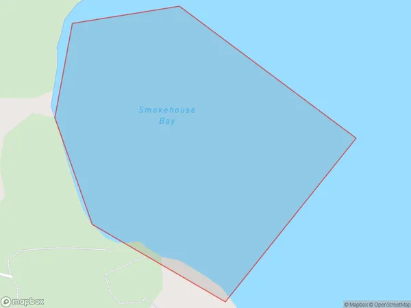
Smokehouse Bay Area, Smokehouse Bay Postcode(0622) & Map in Smokehouse Bay
Smokehouse Bay Area, Smokehouse Bay Postcode(0622) & Map in Smokehouse Bay, Auckland, New Zealand
Smokehouse Bay, Auckland, New Zealand
Smokehouse Bay Postcodes
Smokehouse Bay Area (estimated)
0.2 square kilometersSmokehouse Bay Population (estimated)
0 people live in Smokehouse Bay, Aotea Great Barrier, NZSmokehouse Bay Suburb Area Map (Polygon)
Smokehouse Bay Introduction
Smokehouse Bay is a picturesque beach located in Auckland, New Zealand. It is known for its clear waters, stunning sunsets, and peaceful atmosphere. The bay is a popular spot for swimming, sunbathing, and fishing, and it is surrounded by lush green hills and picturesque coastal walks. The area also has a number of restaurants and cafes, making it a great place to spend a day or weekend.Region
Major City
Suburb Name
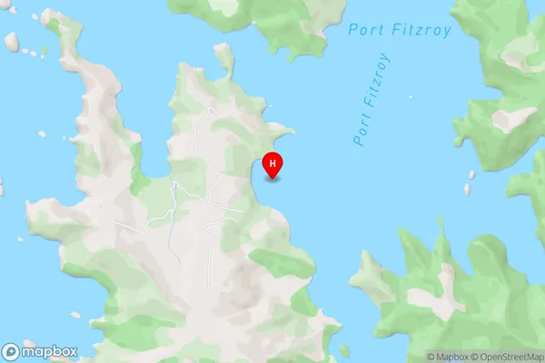
Smokehouse BayOther Name(s)
Port Fitzroy, Hauraki GulfSmokehouse Bay Area Map (Street)
Local Authority
AucklandFull Address
Smokehouse Bay, Auckland, New ZealandAddress Type
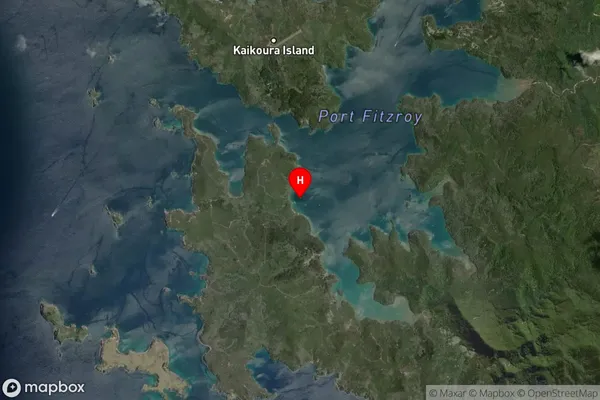
Coastal BaySmokehouse Bay Suburb Map (Satellite)
Country
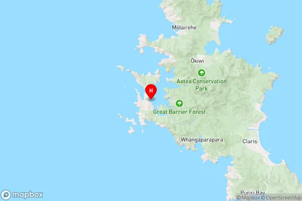
Main Region in AU
AucklandSmokehouse Bay Region Map
Coordinates
-36.1990377,175.3297971 (latitude/longitude)Distances
The distance from Smokehouse Bay, , Auckland to NZ Top 10 Cities