Smokehouse Bay Area, Smokehouse Bay Postcode & Map in Smokehouse Bay
Smokehouse Bay Area, Smokehouse Bay Postcode & Map in Smokehouse Bay, Marlborough District, New Zealand
Smokehouse Bay, Marlborough District, New Zealand
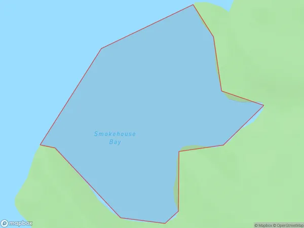
Smokehouse Bay Area (estimated)
0.3 square kilometersSmokehouse Bay Population (estimated)
0 people live in Smokehouse Bay, Marlborough, NZSmokehouse Bay Suburb Area Map (Polygon)
Smokehouse Bay Introduction
Smokehouse Bay is a picturesque and peaceful bay located in Marlborough, New Zealand. It is known for its clear waters, stunning sunsets, and peaceful surroundings, making it a popular spot for swimming, kayaking, and fishing. The bay is also home to a small community of residents who enjoy the relaxed and rural lifestyle.Region
Suburb Name
Smokehouse BayOther Name(s)
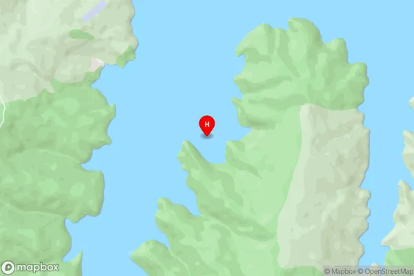
South Arm, Port HardySmokehouse Bay Area Map (Street)
Local Authority
Marlborough DistrictFull Address
Smokehouse Bay, Marlborough District, New ZealandAddress Type
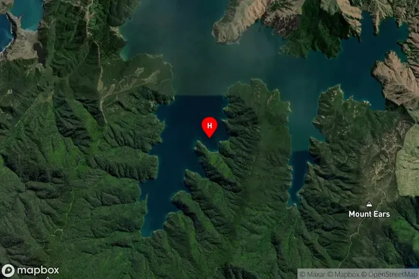
Coastal BaySmokehouse Bay Suburb Map (Satellite)
Country
Main Region in AU
MarlboroughSmokehouse Bay Region Map

Coordinates
-40.789117,173.8829662 (latitude/longitude)Distances
The distance from Smokehouse Bay, , Marlborough District to NZ Top 10 Cities