Meretoto / Ship Cove Area, Meretoto / Ship Cove Postcode & Map in Meretoto / Ship Cove
Meretoto / Ship Cove Area, Meretoto / Ship Cove Postcode & Map in Meretoto / Ship Cove, Marlborough District,
Meretoto / Ship Cove, Marlborough District,
Meretoto / Ship Cove Area (estimated)
2.2 square kilometersMeretoto / Ship Cove Population (estimated)
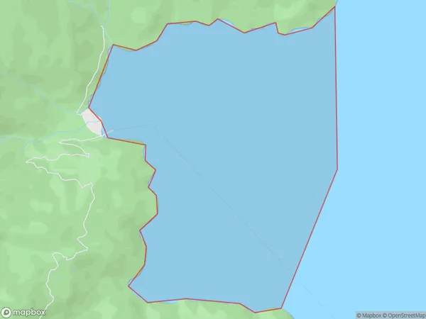
0 people live in Meretoto / Ship Cove, Brighton, NZMeretoto / Ship Cove Suburb Area Map (Polygon)
Region
Major City
Suburb Name
Meretoto / Ship CoveOther Name(s)
Queen Charlotte Sound (Totaranui), MeretotoMeretoto / Ship Cove Area Map (Street)
Local Authority
Marlborough DistrictFull Address
Meretoto / Ship Cove, Marlborough District,Address Type
Coastal BayMeretoto / Ship Cove Suburb Map (Satellite)
Country
Main Region in AU
OtagoMeretoto / Ship Cove Region Map
Coordinates
0,0 (latitude/longitude)Distances
The distance from Meretoto / Ship Cove, , Marlborough District to NZ Top 10 Cities