Mangapapa Area, Mangapapa Postcode(4010) & Map in Mangapapa
Mangapapa Area, Mangapapa Postcode(4010) & Map in Mangapapa, Gisborne District, New Zealand
Mangapapa, Gisborne District, New Zealand
Mangapapa Postcodes
Mangapapa Area (estimated)
4.5 square kilometersMangapapa Population (estimated)
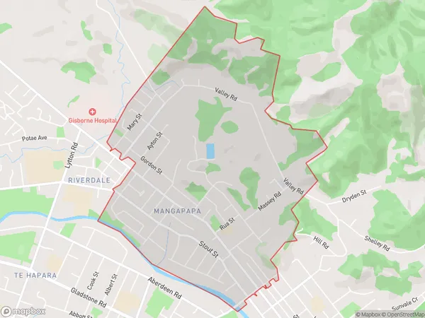
4968 people live in Mangapapa, Gisborne, NZMangapapa Suburb Area Map (Polygon)
Mangapapa Introduction
Mangapapa is a small beachside community located on the eastern coast of the Gisborne Region in New Zealand. It is known for its stunning natural beauty, including the iconic Mangapapa Lighthouse, which offers panoramic views of the surrounding coastline. The area is popular with tourists and locals alike for its peaceful atmosphere, stunning beaches, and diverse marine life.Region
Major City
Suburb Name
MangapapaOther Name(s)
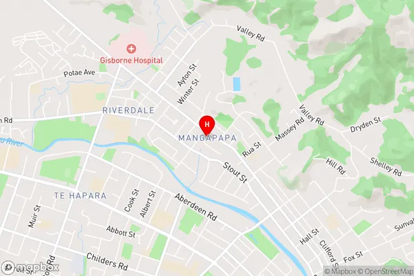
PouawaMangapapa Area Map (Street)
Local Authority
Gisborne DistrictFull Address
Mangapapa, Gisborne District, New ZealandAddress Type
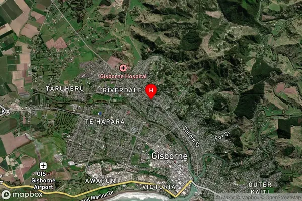
Suburb in Town GisborneMangapapa Suburb Map (Satellite)
Country
Main Region in AU
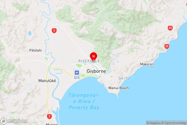
GisborneMangapapa Region Map
Coordinates
-38.6465354,178.014425 (latitude/longitude)Distances
The distance from Mangapapa, Gisborne, Gisborne District to NZ Top 10 Cities