Ruapara Bay Area, Ruapara Bay Postcode & Map in Ruapara Bay
Ruapara Bay Area, Ruapara Bay Postcode & Map in Ruapara Bay, Marlborough District, New Zealand
Ruapara Bay, Marlborough District, New Zealand
Ruapara Bay Area (estimated)
0.3 square kilometersRuapara Bay Population (estimated)
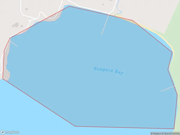
0 people live in Ruapara Bay, Marlborough, NZRuapara Bay Suburb Area Map (Polygon)
Ruapara Bay Introduction
Ruapara Bay is a picturesque and peaceful bay located in Marlborough, New Zealand. It is known for its clear waters, sandy beaches, and stunning coastal scenery. The bay is a popular spot for swimming, boating, and fishing, and it is also home to a variety of bird species. The surrounding area is also home to several wineries and olive groves, making it a popular destination for food and wine enthusiasts.Region
Suburb Name
Ruapara BayOther Name(s)
Onauku Bay, East Bay, Queen Charlotte Sound (Totaranui)Ruapara Bay Area Map (Street)

Local Authority
Marlborough DistrictFull Address
Ruapara Bay, Marlborough District, New ZealandAddress Type
Coastal BayRuapara Bay Suburb Map (Satellite)

Country
Main Region in AU
MarlboroughRuapara Bay Region Map

Coordinates
-41.12622165,174.371164404695 (latitude/longitude)Distances
The distance from Ruapara Bay, , Marlborough District to NZ Top 10 Cities