Roderiques Anchorage Area, Roderiques Anchorage Postcode & Map in Roderiques Anchorage
Roderiques Anchorage Area, Roderiques Anchorage Postcode & Map in Roderiques Anchorage, Area outside Territorial Authority, New Zealand
Roderiques Anchorage, Area outside Territorial Authority, New Zealand
Roderiques Anchorage Area (estimated)
0.3 square kilometersRoderiques Anchorage Population (estimated)
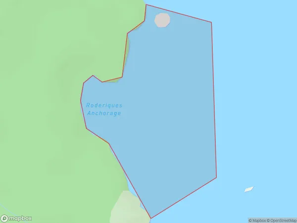
0 people live in Roderiques Anchorage, Southland, NZRoderiques Anchorage Suburb Area Map (Polygon)
Roderiques Anchorage Introduction
Roderiques Anchorage is a small bay and anchorage located in Fiordland National Park, Southland, New Zealand. It is named after the French explorer Jules Dumont d'Urville, who visited the area in 1830. The anchorage provides a safe and sheltered harbor for boats and is a popular stopover for tourists and adventurers exploring the region.Region
Suburb Name
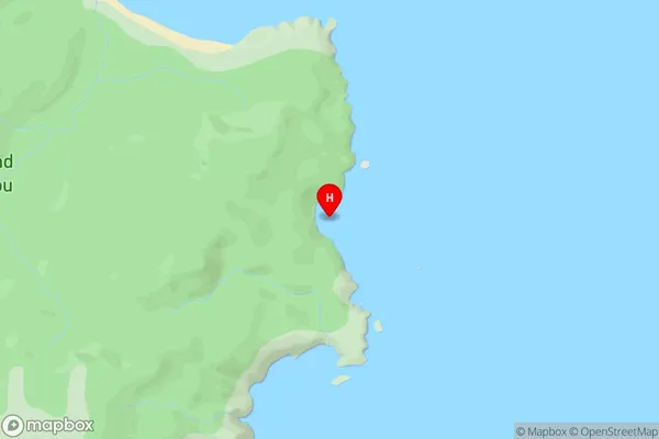
Roderiques AnchorageRoderiques Anchorage Area Map (Street)
Local Authority
Area outside Territorial AuthorityFull Address
Roderiques Anchorage, Area outside Territorial Authority, New ZealandAddress Type
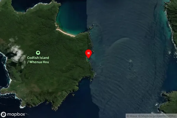
Coastal BayRoderiques Anchorage Suburb Map (Satellite)
Country
Main Region in AU
SouthlandRoderiques Anchorage Region Map

Coordinates
-46.775895,167.660124 (latitude/longitude)Distances
The distance from Roderiques Anchorage, , Area outside Territorial Authority to NZ Top 10 Cities