Puwai Bay Area, Puwai Bay Postcode & Map in Puwai Bay
Puwai Bay Area, Puwai Bay Postcode & Map in Puwai Bay, Area outside Territorial Authority, New Zealand
Puwai Bay, Area outside Territorial Authority, New Zealand
Puwai Bay Area (estimated)
-1.2 square kilometersPuwai Bay Population (estimated)
0 people live in Puwai Bay, Southland, NZPuwai Bay Suburb Area Map (Polygon)
Not available for nowPuwai Bay Introduction
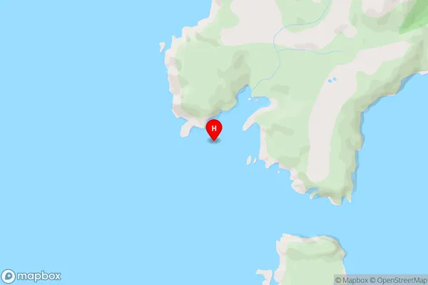
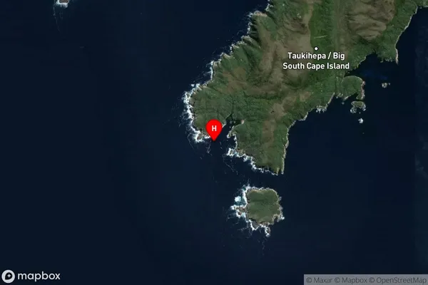
Puwai Bay is a small, sheltered bay located in Fiordland National Park in Southland, New Zealand. It is known for its stunning turquoise waters, surrounded by rugged mountains and dense forest. The bay is a popular spot for kayaking, fishing, and hiking, and is home to a variety of wildlife, including seals, penguins, and dolphins.Region
Suburb Name
Puwai BayPuwai Bay Area Map (Street)
Local Authority
Area outside Territorial AuthorityFull Address
Puwai Bay, Area outside Territorial Authority, New ZealandAddress Type
Coastal BayPuwai Bay Suburb Map (Satellite)
Country
Main Region in AU
SouthlandPuwai Bay Region Map

Coordinates
-47.2564484,167.3833673 (latitude/longitude)Distances
The distance from Puwai Bay, , Area outside Territorial Authority to NZ Top 10 Cities