Puriri Bay Area, Puriri Bay Postcode(0622) & Map in Puriri Bay
Puriri Bay Area, Puriri Bay Postcode(0622) & Map in Puriri Bay, Auckland, New Zealand
Puriri Bay, Auckland, New Zealand
Puriri Bay Postcodes
Puriri Bay Area (estimated)
0.8 square kilometersPuriri Bay Population (estimated)
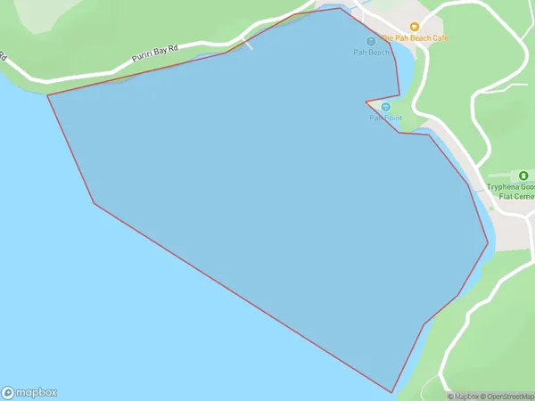
0 people live in Puriri Bay, Aotea Great Barrier, NZPuriri Bay Suburb Area Map (Polygon)
Puriri Bay Introduction
Puriri Bay is a small, peaceful bay located in the Eastern suburbs of Auckland, New Zealand. It is known for its beautiful beaches, clear waters, and stunning coastal scenery. The bay is a popular spot for swimming, kayaking, and fishing, and it is surrounded by lush green forests and picturesque farmland. The area has a rich history and is home to several important archaeological sites, including the Puriri River and the Paekakariki Hill fort.Region
Major City
Suburb Name
Puriri BayOther Name(s)
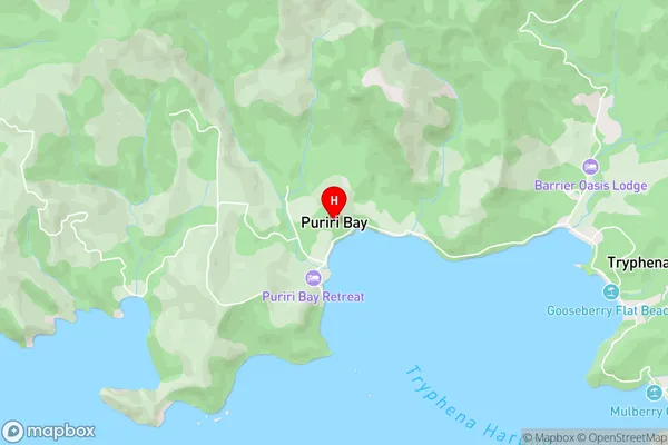
Tryphena Harbour, Hauraki GulfPuriri Bay Area Map (Street)
Local Authority
AucklandFull Address
Puriri Bay, Auckland, New ZealandAddress Type
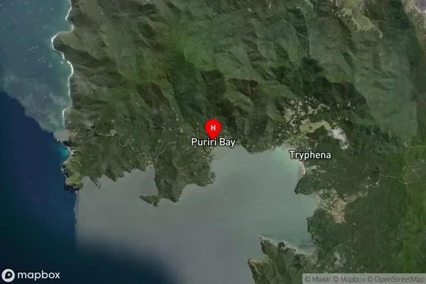
Coastal BayPuriri Bay Suburb Map (Satellite)
Country
Main Region in AU
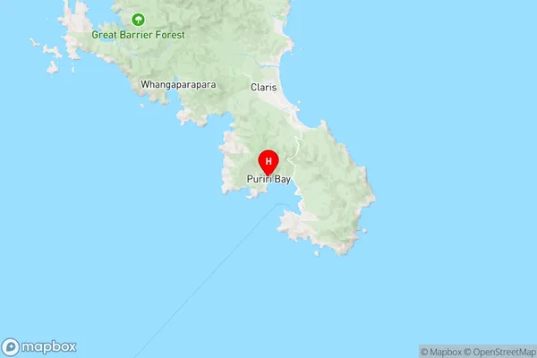
AucklandPuriri Bay Region Map
Coordinates
-36.3007602,175.4683449 (latitude/longitude)Distances
The distance from Puriri Bay, , Auckland to NZ Top 10 Cities