Punawai Bay Area, Punawai Bay Postcode & Map in Punawai Bay
Punawai Bay Area, Punawai Bay Postcode & Map in Punawai Bay, Area outside Territorial Authority, New Zealand
Punawai Bay, Area outside Territorial Authority, New Zealand
Punawai Bay Area (estimated)
0.1 square kilometersPunawai Bay Population (estimated)
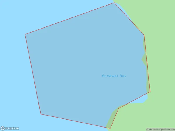
0 people live in Punawai Bay, Northland, NZPunawai Bay Suburb Area Map (Polygon)
Punawai Bay Introduction
Punawai Bay is a small bay located in the Northland region of New Zealand. It is known for its stunning natural beauty, including crystal-clear waters, rugged cliffs, and lush forests. The bay is a popular spot for swimming, snorkeling, and kayaking, and is home to a variety of marine life, including dolphins, whales, and seals. Punawai Bay is also a sacred site for the local Maori people, who have long held it in high regard for its spiritual and cultural significance.Region
Suburb Name
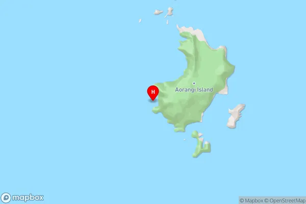
Punawai BayPunawai Bay Area Map (Street)
Local Authority
Area outside Territorial AuthorityFull Address
Punawai Bay, Area outside Territorial Authority, New ZealandAddress Type
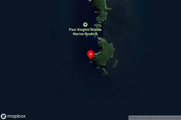
Coastal BayPunawai Bay Suburb Map (Satellite)
Country
Main Region in AU
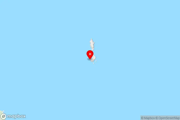
NorthlandPunawai Bay Region Map
Coordinates
-35.4843961,174.7325955 (latitude/longitude)Distances
The distance from Punawai Bay, , Area outside Territorial Authority to NZ Top 10 Cities