Pumanawa Bay Area, Pumanawa Bay Postcode & Map in Pumanawa Bay
Pumanawa Bay Area, Pumanawa Bay Postcode & Map in Pumanawa Bay, Far North District, New Zealand
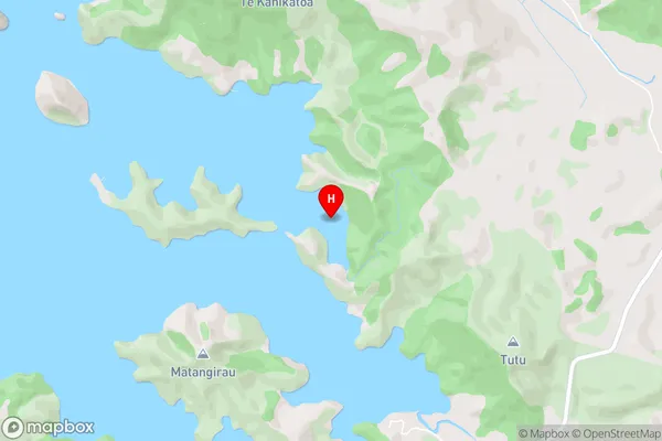
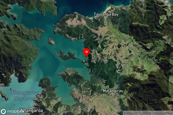
Pumanawa Bay, Far North District, New Zealand
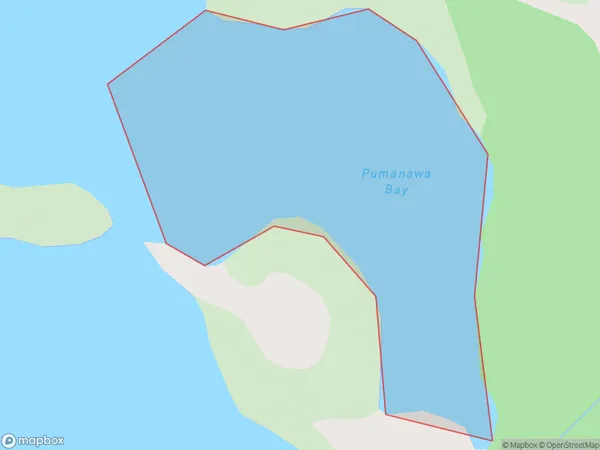
Pumanawa Bay Area (estimated)
0.2 square kilometersPumanawa Bay Population (estimated)
0 people live in Pumanawa Bay, Bay of Islands-Whangaroa Community, NZPumanawa Bay Suburb Area Map (Polygon)
Pumanawa Bay Introduction
Pumanawa Bay is located in the Northland region of New Zealand. It is known for its stunning coastal scenery, including rugged cliffs, pristine beaches, and crystal-clear waters. The bay is a popular destination for outdoor activities such as hiking, fishing, and kayaking, and is home to a variety of marine species. It is also a significant cultural site for the local Maori people, with several ancient archaeological sites located within its boundaries.Region
Major City
Suburb Name
Pumanawa BayOther Name(s)
Whangaroa HarbourPumanawa Bay Area Map (Street)
Local Authority
Far North DistrictFull Address
Pumanawa Bay, Far North District, New ZealandAddress Type
Coastal BayPumanawa Bay Suburb Map (Satellite)
Country
Main Region in AU
NorthlandPumanawa Bay Region Map

Coordinates
-35.0270611,173.7750435 (latitude/longitude)Distances
The distance from Pumanawa Bay, , Far North District to NZ Top 10 Cities