Pireka / Low Neck Bay Area, Pireka / Low Neck Bay Postcode & Map in Pireka / Low Neck Bay
Pireka / Low Neck Bay Area, Pireka / Low Neck Bay Postcode & Map in Pireka / Low Neck Bay, Marlborough District, New Zealand
Pireka / Low Neck Bay, Marlborough District, New Zealand
Pireka / Low Neck Bay Area (estimated)
0.2 square kilometersPireka / Low Neck Bay Population (estimated)
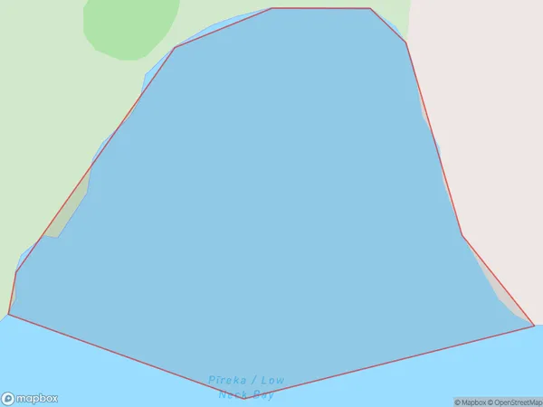
0 people live in Pireka / Low Neck Bay, Marlborough, NZPireka / Low Neck Bay Suburb Area Map (Polygon)
Pireka / Low Neck Bay Introduction
Pireka / Low Neck Bay is a small bay and beach located in Marlborough, New Zealand. It is known for its clear waters, sandy beaches, and stunning coastal views. The bay is a popular spot for swimming, kayaking, and fishing, and it is surrounded by native bush and farmland. The area has a rich history and was once home to a Māori village. Pireka / Low Neck Bay is a peaceful and picturesque location that offers a break from the hustle and bustle of city life.Region
Suburb Name
Pireka / Low Neck Bay (Maori Name: Pīreka / Low Neck Bay)Other Name(s)
Low Neck Bay, PirekaPireka / Low Neck Bay Area Map (Street)

Local Authority
Marlborough DistrictFull Address
Pireka / Low Neck Bay, Marlborough District, New ZealandAddress Type
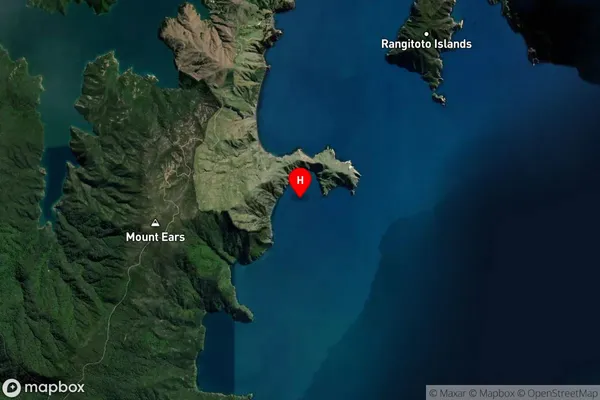
Coastal BayPireka / Low Neck Bay Suburb Map (Satellite)
Country
Main Region in AU
MarlboroughPireka / Low Neck Bay Region Map

Coordinates
-40.7981935,173.9470775 (latitude/longitude)Distances
The distance from Pireka / Low Neck Bay, , Marlborough District to NZ Top 10 Cities