Pikaroro Bay Area, Pikaroro Bay Postcode & Map in Pikaroro Bay
Pikaroro Bay Area, Pikaroro Bay Postcode & Map in Pikaroro Bay, Area outside Territorial Authority, New Zealand
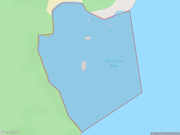
Pikaroro Bay, Area outside Territorial Authority, New Zealand
Pikaroro Bay Area (estimated)
0.4 square kilometersPikaroro Bay Population (estimated)
0 people live in Pikaroro Bay, Southland, NZPikaroro Bay Suburb Area Map (Polygon)
Pikaroro Bay Introduction
Pikaroro Bay is a small, sheltered bay located in Fiordland National Park in Southland, New Zealand. It is known for its stunning turquoise waters, surrounded by rugged mountain terrain and dense forest. The bay is a popular spot for kayaking, fishing, and hiking, and is home to a small community of native birds. Pikaroro Bay is also a filming location for several movies and TV shows, including The Hobbit and The Lord of the Rings.Region
Suburb Name
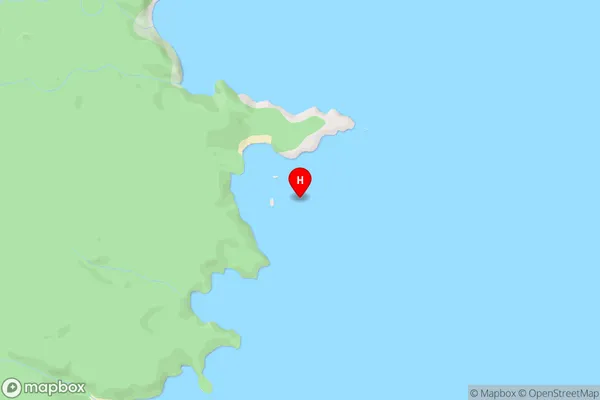
Pikaroro BayPikaroro Bay Area Map (Street)
Local Authority
Area outside Territorial AuthorityFull Address
Pikaroro Bay, Area outside Territorial Authority, New ZealandAddress Type
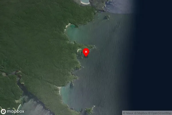
Coastal BayPikaroro Bay Suburb Map (Satellite)
Country
Main Region in AU
SouthlandPikaroro Bay Region Map

Coordinates
-47.0392523,168.2138966 (latitude/longitude)Distances
The distance from Pikaroro Bay, , Area outside Territorial Authority to NZ Top 10 Cities