Parua Bay Area, Parua Bay Postcode(0174) & Map in Parua Bay
Parua Bay Area, Parua Bay Postcode(0174) & Map in Parua Bay, Whangarei District, New Zealand
Parua Bay, Whangarei District, New Zealand
Parua Bay Postcodes
Parua Bay Area (estimated)
-1.2 square kilometersParua Bay Population (estimated)
597 people live in Parua Bay, Northland, NZParua Bay Suburb Area Map (Polygon)
Not available for nowParua Bay Introduction
Parua Bay is a picturesque beach located in the Bay of Islands, Northland, New Zealand. It is known for its crystal-clear waters, white sand, and stunning coastal scenery. The bay is a popular spot for swimming, snorkeling, and kayaking, and it is also home to a variety of marine life, including dolphins, whales, and seals. Visitors can also explore the nearby Parua Forest, which is a lush, tropical forest with walking tracks and a waterfall.Region
Suburb Name
Parua BayOther Name(s)
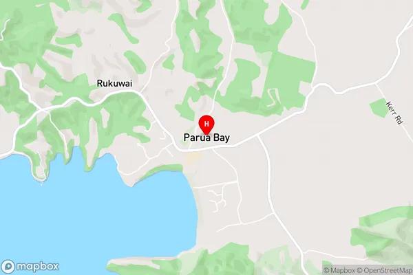
Whangarei Harbour (Maori Name: Whangārei Harbour)Parua Bay Area Map (Street)
Local Authority
Whangarei DistrictFull Address
Parua Bay, Whangarei District, New ZealandAddress Type
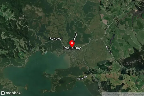
Coastal BayParua Bay Suburb Map (Satellite)
Country
Main Region in AU
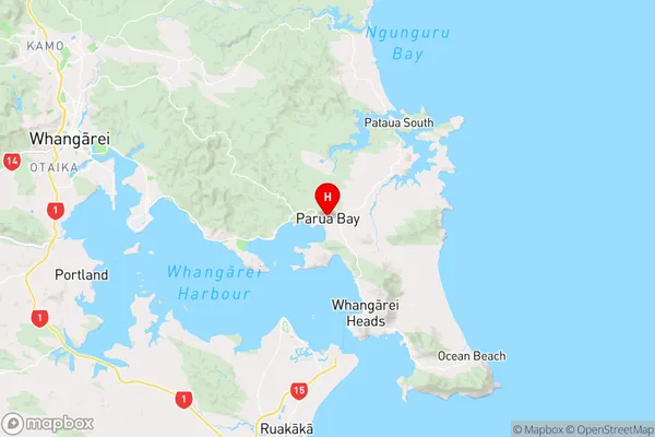
NorthlandParua Bay Region Map
Coordinates
-35.7682268,174.4814096 (latitude/longitude)Distances
The distance from Parua Bay, , Whangarei District to NZ Top 10 Cities