Pah Bay Area, Pah Bay Postcode(7845) & Map in Pah Bay
Pah Bay Area, Pah Bay Postcode(7845) & Map in Pah Bay, Grey District, New Zealand
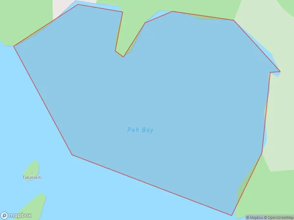
Pah Bay, Grey District, New Zealand
Pah Bay Postcodes
Pah Bay Area (estimated)
0.2 square kilometersPah Bay Population (estimated)
0 people live in Pah Bay, West Coast, NZPah Bay Suburb Area Map (Polygon)
Pah Bay Introduction
Pah Bay is a small, secluded beach on the West Coast of New Zealand's South Island. It is known for its stunning natural beauty, including rugged cliffs, golden sand beaches, and crystal-clear turquoise waters. The bay is surrounded by native forest and offers a peaceful and tranquil environment for visitors to relax and enjoy the natural surroundings. Due to its remote location, Pah Bay is not as heavily visited as some other beaches on the West Coast, making it a popular spot for those seeking a quiet and undisturbed vacation.Region
Suburb Name
Pah BayOther Name(s)
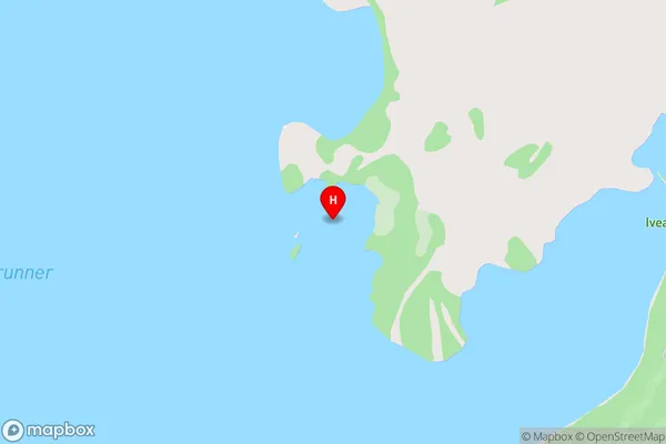
Lake Brunner (Moana)Pah Bay Area Map (Street)
Local Authority
Grey DistrictFull Address
Pah Bay, Grey District, New ZealandAddress Type
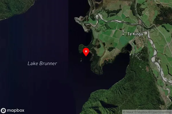
Inland BayPah Bay Suburb Map (Satellite)
Country
Main Region in AU
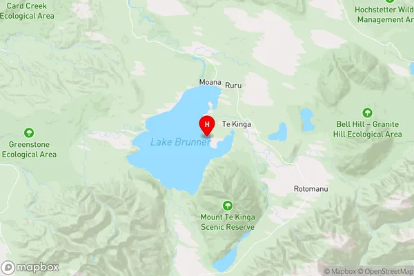
West CoastPah Bay Region Map
Coordinates
-42.6159501,171.4745418 (latitude/longitude)Distances
The distance from Pah Bay, , Grey District to NZ Top 10 Cities