Mangamaunu Area, Mangamaunu Postcode(7371) & Map in Mangamaunu
Mangamaunu Area, Mangamaunu Postcode(7371) & Map in Mangamaunu, Kaikoura District, New Zealand
Mangamaunu, Kaikoura District, New Zealand
Mangamaunu Postcodes
Mangamaunu Area (estimated)
82.5 square kilometersMangamaunu Population (estimated)
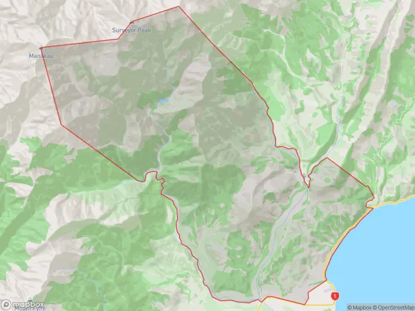
43 people live in Mangamaunu, Canterbury, NZMangamaunu Suburb Area Map (Polygon)
Mangamaunu Introduction
Mangamaunu is a small coastal settlement in Kaikoura, Canterbury, New Zealand. It is known for its stunning coastal views, marine wildlife, and popular fishing spots. The area is also home to the Kaikoura Peninsula, a popular tourist destination for its scenic walks, wildlife encounters, and whale watching opportunities.Region
Major City
Suburb Name
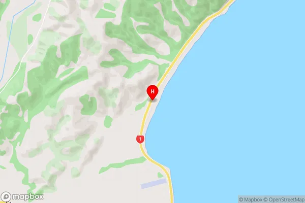
MangamaunuMangamaunu Area Map (Street)
Local Authority
Kaikoura DistrictFull Address
Mangamaunu, Kaikoura District, New ZealandAddress Type
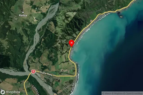
Locality in Town KaikouraMangamaunu Suburb Map (Satellite)
Country
Main Region in AU
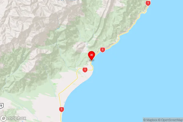
CanterburyMangamaunu Region Map
Coordinates
-42.2969179,173.7486759 (latitude/longitude)Distances
The distance from Mangamaunu, Kaikoura, Kaikoura District to NZ Top 10 Cities