Owhatanga Bay Area, Owhatanga Bay Postcode & Map in Owhatanga Bay
Owhatanga Bay Area, Owhatanga Bay Postcode & Map in Owhatanga Bay, Far North District, New Zealand
Owhatanga Bay, Far North District, New Zealand
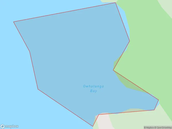
Owhatanga Bay Area (estimated)
0.1 square kilometersOwhatanga Bay Population (estimated)
0 people live in Owhatanga Bay, Bay of Islands-Whangaroa Community, NZOwhatanga Bay Suburb Area Map (Polygon)
Owhatanga Bay Introduction
Owhatanga Bay is a picturesque beach located in the Bay of Islands, Northland, New Zealand. It is known for its crystal-clear waters, white sand beaches, and stunning coastal scenery. The bay is a popular destination for swimming, snorkeling, and kayaking, and it is home to a variety of marine life, including dolphins, whales, and seals. Visitors can also explore the nearby hiking trails and historic sites, including the Owhatanga Historic Village.Region
Major City
Suburb Name
Owhatanga BayOther Name(s)
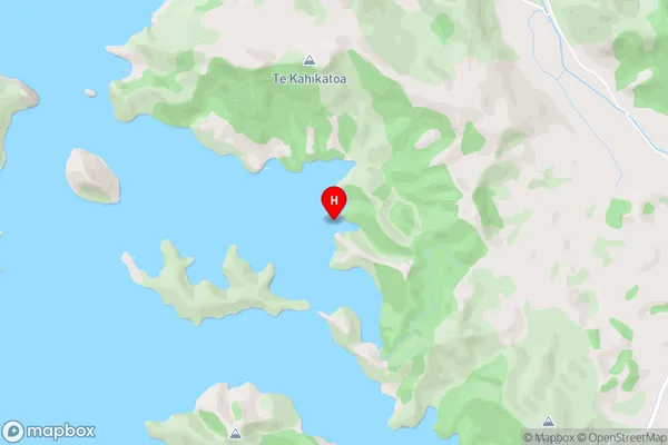
Whangaroa HarbourOwhatanga Bay Area Map (Street)
Local Authority
Far North DistrictFull Address
Owhatanga Bay, Far North District, New ZealandAddress Type
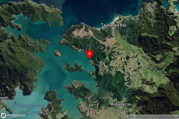
Coastal BayOwhatanga Bay Suburb Map (Satellite)
Country
Main Region in AU
NorthlandOwhatanga Bay Region Map

Coordinates
-35.0222113,173.7727046 (latitude/longitude)Distances
The distance from Owhatanga Bay, , Far North District to NZ Top 10 Cities