Otanerau Bay Area, Otanerau Bay Postcode & Map in Otanerau Bay
Otanerau Bay Area, Otanerau Bay Postcode & Map in Otanerau Bay, Marlborough District, New Zealand
Otanerau Bay, Marlborough District, New Zealand
Otanerau Bay Area (estimated)
3.0 square kilometersOtanerau Bay Population (estimated)
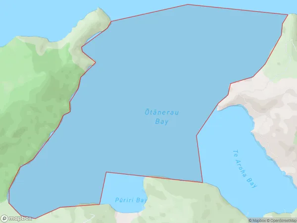
0 people live in Otanerau Bay, Marlborough, NZOtanerau Bay Suburb Area Map (Polygon)
Otanerau Bay Introduction
Otanerau Bay is a popular spot for swimming, boating, and fishing in Marlborough, New Zealand. It is also home to a large population of seals and dolphins. The bay is surrounded by picturesque farmland and has a peaceful, rural atmosphere.Region
Suburb Name
Otanerau Bay (Maori Name: Ōtānerau Bay)Other Name(s)
East Bay, Queen Charlotte Sound (Totaranui)Otanerau Bay Area Map (Street)

Local Authority
Marlborough DistrictFull Address
Otanerau Bay, Marlborough District, New ZealandAddress Type
Coastal BayOtanerau Bay Suburb Map (Satellite)

Country
Main Region in AU
MarlboroughOtanerau Bay Region Map

Coordinates
-41.1689583,174.326372207497 (latitude/longitude)Distances
The distance from Otanerau Bay, , Marlborough District to NZ Top 10 Cities