Otago Harbour Area, Otago Harbour Postcode(9013) & Map in Otago Harbour
Otago Harbour Area, Otago Harbour Postcode(9013) & Map in Otago Harbour, Dunedin City, New Zealand
Otago Harbour, Dunedin City, New Zealand
Otago Harbour Postcodes
Otago Harbour Area (estimated)
-1.2 square kilometersOtago Harbour Population (estimated)
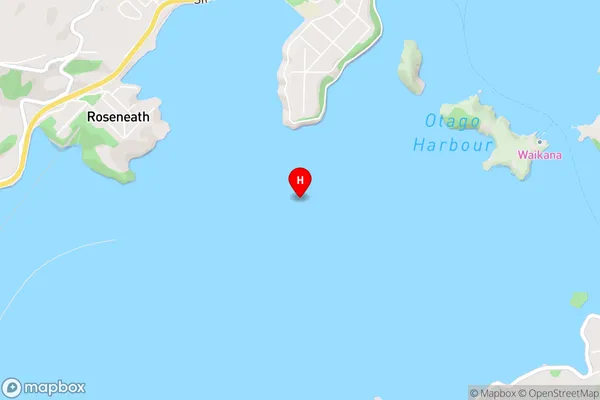
2 people live in Otago Harbour, Dunedin, NZOtago Harbour Suburb Area Map (Polygon)
Not available for nowOtago Harbour Introduction
Otago Harbour is a natural harbor and the second-largest port in New Zealand. It is located in the southern region of the South Island, in the city of Dunedin. The harbor is home to a diverse range of marine species, including penguins, seals, and albatrosses. It is also a popular tourist destination, with many visitors coming to see the stunning scenery and wildlife.Region
Major City
Suburb Name
Otago HarbourOther Name(s)
Te NgaruOtago Harbour Area Map (Street)
Local Authority
Dunedin CityFull Address
Otago Harbour, Dunedin City, New ZealandAddress Type
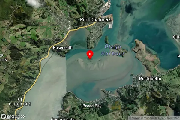
Coastal BayOtago Harbour Suburb Map (Satellite)
Country
Main Region in AU
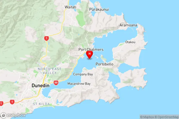
OtagoOtago Harbour Region Map
Coordinates
-45.83228115,170.616536788275 (latitude/longitude)Distances
The distance from Otago Harbour, , Dunedin City to NZ Top 10 Cities