Orongatea Bay Area, Orongatea Bay Postcode & Map in Orongatea Bay
Orongatea Bay Area, Orongatea Bay Postcode & Map in Orongatea Bay, Area outside Territorial Authority, New Zealand
Orongatea Bay, Area outside Territorial Authority, New Zealand
Orongatea Bay Area (estimated)
0.2 square kilometersOrongatea Bay Population (estimated)
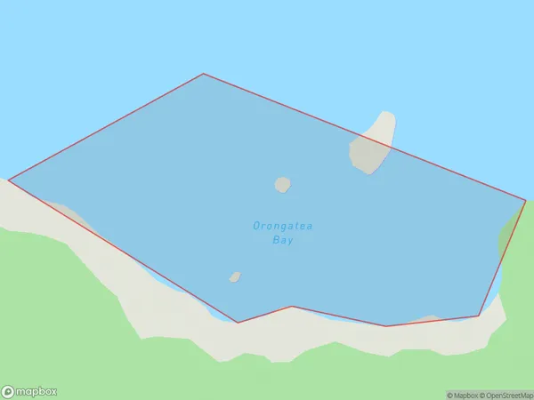
0 people live in Orongatea Bay, Bay of Plenty, NZOrongatea Bay Suburb Area Map (Polygon)
Orongatea Bay Introduction
Orongatea Bay is a picturesque bay located in the Bay of Plenty, New Zealand. It is known for its clear waters, sandy beaches, and stunning coastal scenery. The bay is a popular spot for swimming, kayaking, and fishing, and it is home to a variety of marine life, including dolphins, whales, and seals. The bay is also surrounded by lush native forests and picturesque farmland, making it a popular destination for nature lovers and outdoor enthusiasts.Region
Suburb Name
Orongatea BayOther Name(s)
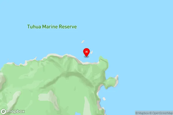
Bay Of PlentyOrongatea Bay Area Map (Street)
Local Authority
Area outside Territorial AuthorityFull Address
Orongatea Bay, Area outside Territorial Authority, New ZealandAddress Type
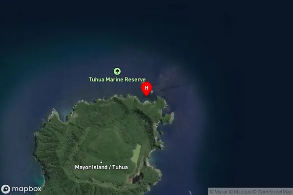
Coastal BayOrongatea Bay Suburb Map (Satellite)
Country
Main Region in AU
Bay of PlentyOrongatea Bay Region Map

Coordinates
-37.2685605,176.2711548 (latitude/longitude)Distances
The distance from Orongatea Bay, , Area outside Territorial Authority to NZ Top 10 Cities