Oranga Bay Area, Oranga Bay Postcode(0622) & Map in Oranga Bay
Oranga Bay Area, Oranga Bay Postcode(0622) & Map in Oranga Bay, Auckland, New Zealand
Oranga Bay, Auckland, New Zealand
Oranga Bay Postcodes
Oranga Bay Area (estimated)
0.3 square kilometersOranga Bay Population (estimated)
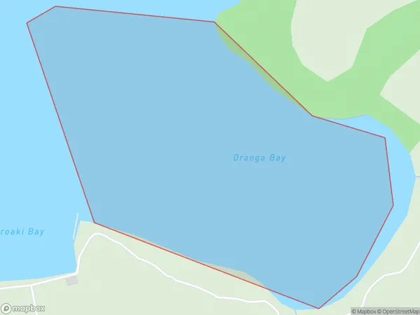
0 people live in Oranga Bay, Waiheke, NZOranga Bay Suburb Area Map (Polygon)
Oranga Bay Introduction
Oranga Bay is a suburb of Auckland, New Zealand. It is located on the southern shores of the Waitemata Harbour and is known for its beautiful beaches, lush parks, and vibrant community. The area has a rich history and was once home to the Maori people. It is also home to a popular shopping district, with a variety of shops, restaurants, and cafes.Region
Major City
Suburb Name
Oranga BayOther Name(s)
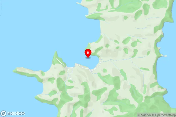
Hauraki GulfOranga Bay Area Map (Street)
Local Authority
AucklandFull Address
Oranga Bay, Auckland, New ZealandAddress Type
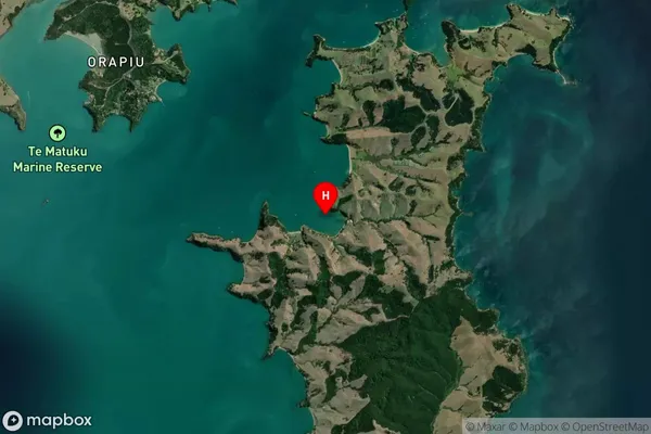
Coastal BayOranga Bay Suburb Map (Satellite)
Country
Main Region in AU
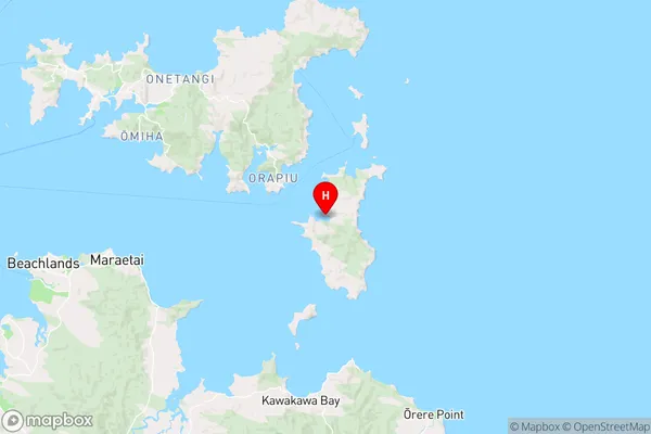
AucklandOranga Bay Region Map
Coordinates
-36.8590171,175.1747254 (latitude/longitude)Distances
The distance from Oranga Bay, , Auckland to NZ Top 10 Cities