Opopoto Bay Area, Opopoto Bay Postcode(0622) & Map in Opopoto Bay
Opopoto Bay Area, Opopoto Bay Postcode(0622) & Map in Opopoto Bay, Auckland, New Zealand
Opopoto Bay, Auckland, New Zealand
Opopoto Bay Postcodes
Opopoto Bay Area (estimated)
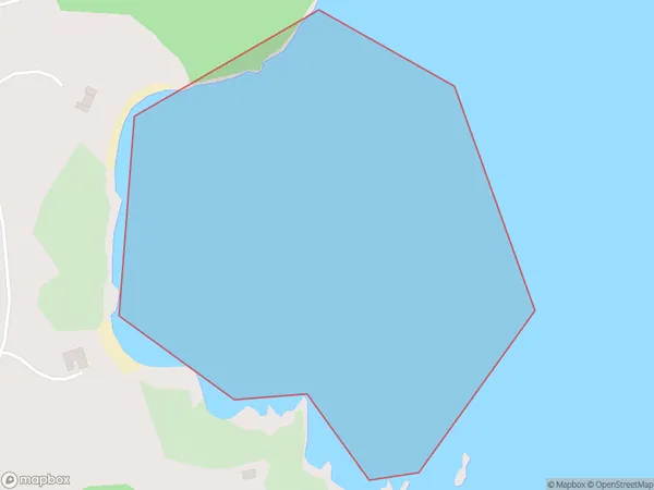
0.2 square kilometersOpopoto Bay Population (estimated)
0 people live in Opopoto Bay, Waiheke, NZOpopoto Bay Suburb Area Map (Polygon)
Region
Major City
Suburb Name
Opopoto BayOther Name(s)
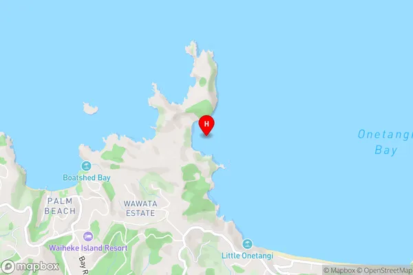
Hauraki GulfOpopoto Bay Area Map (Street)
Local Authority
AucklandFull Address
Opopoto Bay, Auckland, New ZealandAddress Type
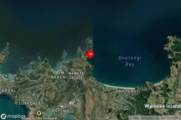
Coastal BayOpopoto Bay Suburb Map (Satellite)
Country
Main Region in AU
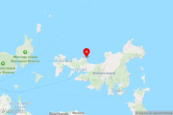
AucklandOpopoto Bay Region Map
Coordinates
-36.77479395,175.061883070547 (latitude/longitude)Distances
The distance from Opopoto Bay, , Auckland to NZ Top 10 Cities