Onepoto Area, Onepoto Postcode(5242) & Map in Onepoto
Onepoto Area, Onepoto Postcode(5242) & Map in Onepoto, Area outside Territorial Authority,
Onepoto, Area outside Territorial Authority,
Onepoto Postcodes
Onepoto Area (estimated)
0.6 square kilometersOnepoto Population (estimated)
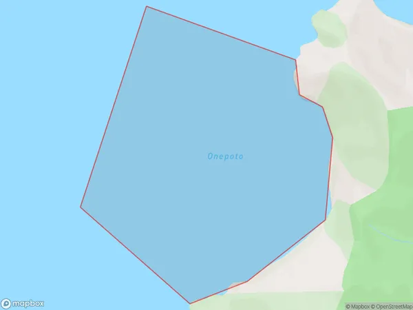
0 people live in Onepoto, Brighton, NZOnepoto Suburb Area Map (Polygon)
Onepoto Introduction
Onepoto is a small rural town in Otago, New Zealand, located on State Highway 1. It is known for its scenic views and historic buildings, including the Onepoto railway station. The town has a population of around 100 people and is surrounded by farmland and native bush.Region
Major City
Suburb Name
OnepotoOnepoto Area Map (Street)
Local Authority
Area outside Territorial AuthorityFull Address
Onepoto, Area outside Territorial Authority,Address Type
Coastal BayOnepoto Suburb Map (Satellite)
Country
Main Region in AU
OtagoOnepoto Region Map
Coordinates
0,0 (latitude/longitude)Distances
The distance from Onepoto, , Area outside Territorial Authority to NZ Top 10 Cities