Onehunga Bay Area, Onehunga Bay Postcode & Map in Onehunga Bay
Onehunga Bay Area, Onehunga Bay Postcode & Map in Onehunga Bay, Marlborough District, New Zealand
Onehunga Bay, Marlborough District, New Zealand
Onehunga Bay Area (estimated)
2.0 square kilometersOnehunga Bay Population (estimated)
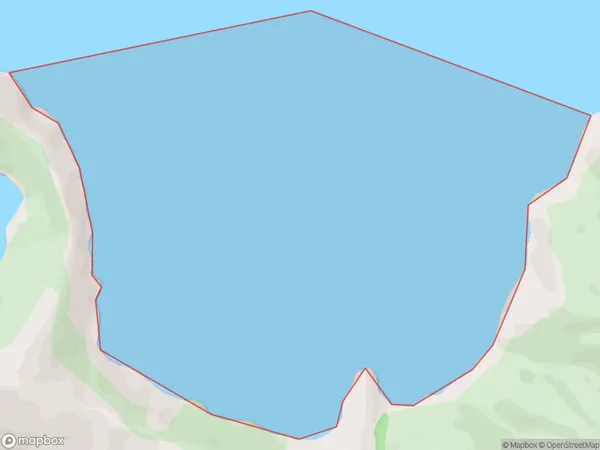
0 people live in Onehunga Bay, Marlborough, NZOnehunga Bay Suburb Area Map (Polygon)
Onehunga Bay Introduction
Onehunga Bay is a popular beach in Marlborough, New Zealand. It is known for its golden sand, clear waters, and stunning views of the Southern Alps. The bay is a popular spot for swimming, sunbathing, and water sports such as kayaking and paddleboarding. There are also several restaurants and cafes located along the beachfront, providing visitors with a variety of dining options.Region
Suburb Name
Onehunga BayOther Name(s)
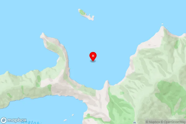
Queen Charlotte Sound (Totaranui)Onehunga Bay Area Map (Street)
Local Authority
Marlborough DistrictFull Address
Onehunga Bay, Marlborough District, New ZealandAddress Type
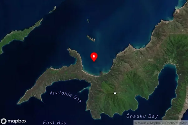
Coastal BayOnehunga Bay Suburb Map (Satellite)
Country
Main Region in AU
MarlboroughOnehunga Bay Region Map

Coordinates
-41.1239252,174.3296418 (latitude/longitude)Distances
The distance from Onehunga Bay, , Marlborough District to NZ Top 10 Cities