Omahungaiti Bay Area, Omahungaiti Bay Postcode(1148) & Map in Omahungaiti Bay
Omahungaiti Bay Area, Omahungaiti Bay Postcode(1148) & Map in Omahungaiti Bay, Auckland, New Zealand
Omahungaiti Bay, Auckland, New Zealand
Omahungaiti Bay Postcodes
Omahungaiti Bay Area (estimated)
0.3 square kilometersOmahungaiti Bay Population (estimated)
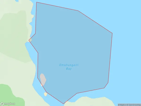
0 people live in Omahungaiti Bay, Aotea Great Barrier, NZOmahungaiti Bay Suburb Area Map (Polygon)
Omahungaiti Bay Introduction
Omahungaiti Bay is a small, sheltered bay located in Auckland, New Zealand. It is known for its peaceful atmosphere, stunning natural beauty, and rich cultural heritage. The bay is surrounded by lush green hills and is a popular spot for swimming, kayaking, and fishing. It is also home to a small community of native birds, including the rare tui. The bay has a rich history, with evidence of human settlement dating back thousands of years. It was once a significant trading post for the local Maori people, and remains an important cultural site for them today.Region
Major City
Suburb Name
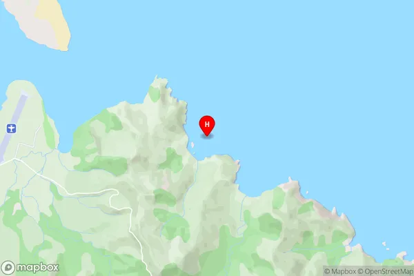
Omahungaiti BayOmahungaiti Bay Area Map (Street)
Local Authority
AucklandFull Address
Omahungaiti Bay, Auckland, New ZealandAddress Type
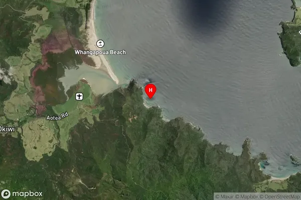
Coastal BayOmahungaiti Bay Suburb Map (Satellite)
Country
Main Region in AU
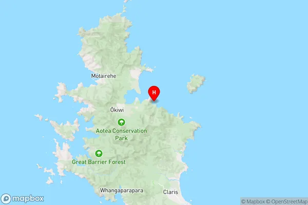
AucklandOmahungaiti Bay Region Map
Coordinates
-36.147228,175.4424046 (latitude/longitude)Distances
The distance from Omahungaiti Bay, , Auckland to NZ Top 10 Cities