Awamoko Area, Awamoko Postcode & Map in Awamoko
Awamoko Area, Awamoko Postcode & Map in Awamoko, Waitaki District, New Zealand
Awamoko, Waitaki District, New Zealand
Awamoko Area (estimated)
54.2 square kilometersAwamoko Population (estimated)
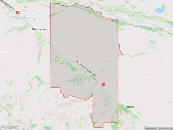
139 people live in Awamoko, Otago, NZAwamoko Suburb Area Map (Polygon)
Awamoko Introduction
Awamoko is a small rural community in the North Otago region of New Zealand, located 12 km south of Oamaru. It is known for its historic stone buildings and scenic surroundings, including the Awamoko Forest and the Awamoko Stream. The community has a population of around 100 people and is home to a primary school, a church, and a small convenience store.Region
Major City
Suburb Name
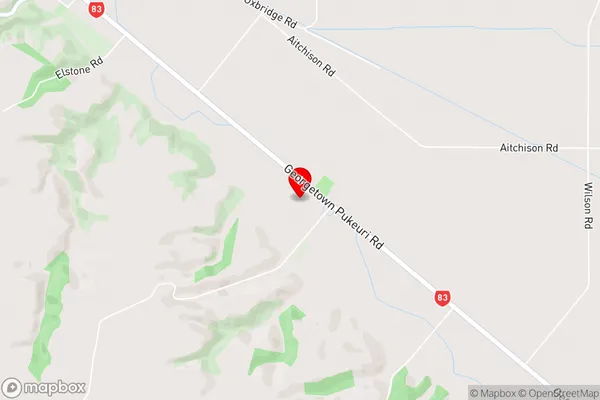
AwamokoAwamoko Area Map (Street)
Local Authority
Waitaki DistrictFull Address
Awamoko, Waitaki District, New ZealandAddress Type
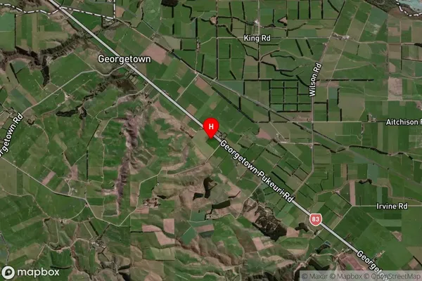
Locality in Town OamaruAwamoko Suburb Map (Satellite)
Country
Main Region in AU
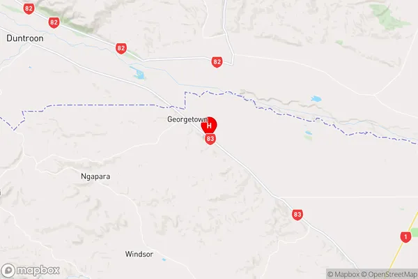
OtagoAwamoko Region Map
Coordinates
-44.9245349,170.864714 (latitude/longitude)Distances
The distance from Awamoko, Oamaru, Waitaki District to NZ Top 10 Cities