Okete Bay Area, Okete Bay Postcode(3225) & Map in Okete Bay
Okete Bay Area, Okete Bay Postcode(3225) & Map in Okete Bay, Waikato District, New Zealand
Okete Bay, Waikato District, New Zealand
Okete Bay Postcodes
Okete Bay Area (estimated)
0.9 square kilometersOkete Bay Population (estimated)
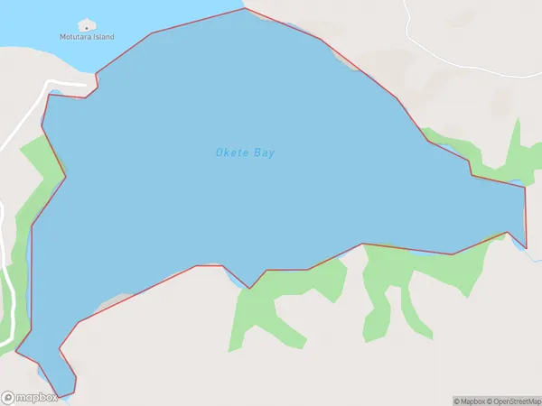
0 people live in Okete Bay, Waikato, NZOkete Bay Suburb Area Map (Polygon)
Okete Bay Introduction
Waikato's Okete Bay is a popular beach destination. It has a long sandy beach, a safe swimming area, and a boat ramp. The bay is also home to a small settlement and a golf course. Visitors can enjoy fishing, hiking, and picnicking in the surrounding area. The bay is located about 45 minutes' drive from Hamilton and 1 hour from Auckland.Region
Suburb Name
Okete BayOther Name(s)
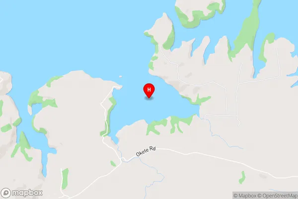
Whaingaroa HarbourOkete Bay Area Map (Street)
Local Authority
Waikato DistrictFull Address
Okete Bay, Waikato District, New ZealandAddress Type
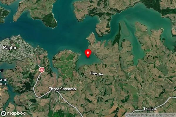
Coastal BayOkete Bay Suburb Map (Satellite)
Country
Main Region in AU
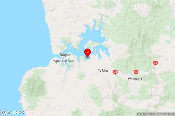
WaikatoOkete Bay Region Map
Coordinates
-37.8054437,174.919982 (latitude/longitude)Distances
The distance from Okete Bay, , Waikato District to NZ Top 10 Cities