Nicholson Harbour Area, Nicholson Harbour Postcode & Map in Nicholson Harbour
Nicholson Harbour Area, Nicholson Harbour Postcode & Map in Nicholson Harbour, Area outside Territorial Authority, New Zealand
Nicholson Harbour, Area outside Territorial Authority, New Zealand
Nicholson Harbour Area (estimated)
0.3 square kilometersNicholson Harbour Population (estimated)
0 people live in Nicholson Harbour, Southland, NZNicholson Harbour Suburb Area Map (Polygon)
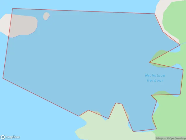
Nicholson Harbour Introduction
Nicholson Harbour is a small, sheltered harbor located in Southland, New Zealand. It is situated at the mouth of the Mataura River and is surrounded by stunning coastal scenery. The harbor is home to a variety of marine species, including seals, dolphins, and penguins. It is also a popular fishing and boating destination. The harbor has a rich history, with early European settlers using it as a base for their whaling and sealing operations. Today, it is a popular tourist attraction and a vital part of the local economy.Region
Suburb Name
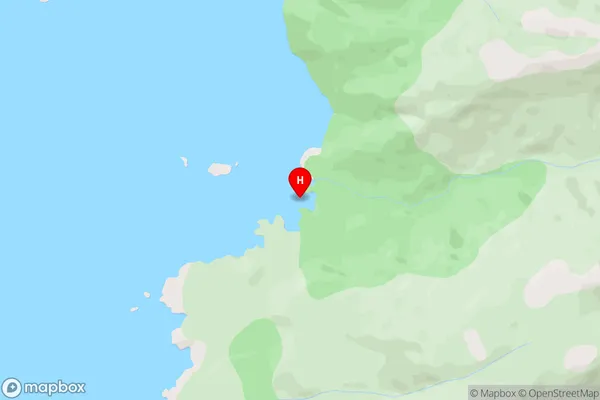
Nicholson HarbourNicholson Harbour Area Map (Street)
Local Authority
Area outside Territorial AuthorityFull Address
Nicholson Harbour, Area outside Territorial Authority, New ZealandAddress Type
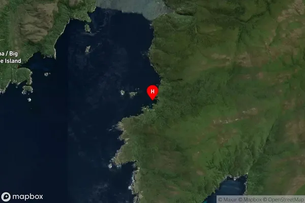
Coastal BayNicholson Harbour Suburb Map (Satellite)
Country
Main Region in AU
SouthlandNicholson Harbour Region Map

Coordinates
-47.253258,167.46035 (latitude/longitude)Distances
The distance from Nicholson Harbour, , Area outside Territorial Authority to NZ Top 10 Cities