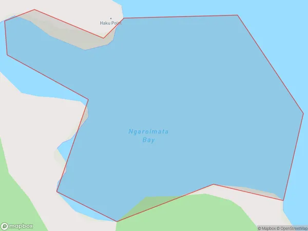
Ngaroimata Bay Area, Ngaroimata Bay Postcode & Map in Ngaroimata Bay
Ngaroimata Bay Area, Ngaroimata Bay Postcode & Map in Ngaroimata Bay, Area outside Territorial Authority, New Zealand
Ngaroimata Bay, Area outside Territorial Authority, New Zealand
Ngaroimata Bay Area (estimated)
0.1 square kilometersNgaroimata Bay Population (estimated)
0 people live in Ngaroimata Bay, Northland, NZNgaroimata Bay Suburb Area Map (Polygon)
Ngaroimata Bay Introduction
Ngaroimata Bay is a picturesque bay located in Northland, New Zealand. It is known for its stunning turquoise waters, white sandy beaches, and stunning coastal scenery. The bay is a popular destination for swimming, kayaking, and fishing, and is home to a variety of marine species, including dolphins, whales, and seals. The bay is also home to the Ngaroimata Lighthouse, which was built in 1894 to guide ships into the bay.Region
Suburb Name
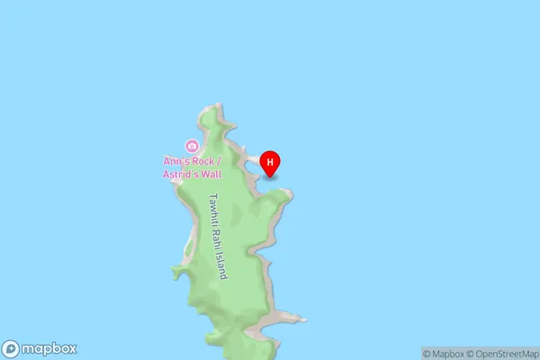
Ngaroimata BayNgaroimata Bay Area Map (Street)
Local Authority
Area outside Territorial AuthorityFull Address
Ngaroimata Bay, Area outside Territorial Authority, New ZealandAddress Type
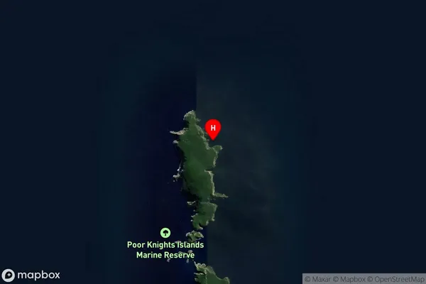
Coastal BayNgaroimata Bay Suburb Map (Satellite)
Country
Main Region in AU
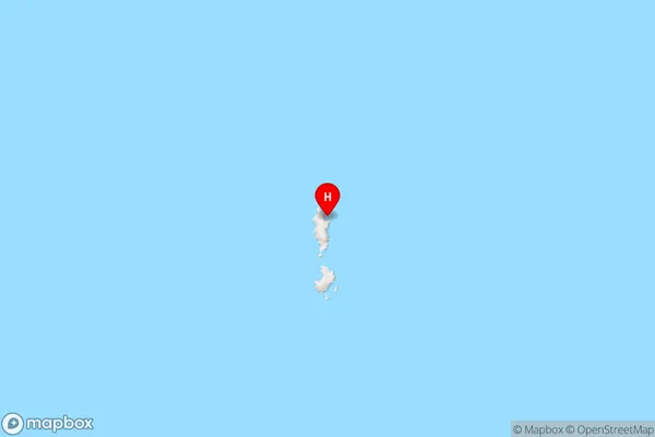
NorthlandNgaroimata Bay Region Map
Coordinates
-35.4499975,174.7411541 (latitude/longitude)Distances
The distance from Ngaroimata Bay, , Area outside Territorial Authority to NZ Top 10 Cities