Ngamanauraru Bay Area, Ngamanauraru Bay Postcode(0622) & Map in Ngamanauraru Bay
Ngamanauraru Bay Area, Ngamanauraru Bay Postcode(0622) & Map in Ngamanauraru Bay, Auckland, New Zealand
Ngamanauraru Bay, Auckland, New Zealand
Ngamanauraru Bay Postcodes
Ngamanauraru Bay Area (estimated)
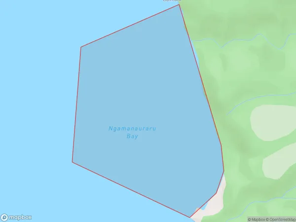
0.6 square kilometersNgamanauraru Bay Population (estimated)
0 people live in Ngamanauraru Bay, Aotea Great Barrier, NZNgamanauraru Bay Suburb Area Map (Polygon)
Ngamanauraru Bay Introduction
Ngamanauraru Bay is a small, sheltered bay located in the Waitemata Harbour of Auckland, New Zealand. It is known for its calm waters and stunning natural surroundings, making it a popular spot for swimming, kayaking, and paddleboarding. The bay is also home to a small community of native birds, including the rare New Zealand dotterel. The area surrounding Ngamanauraru Bay is rich in Maori history and culture, with several important archaeological sites located nearby.Region
Major City
Suburb Name
Ngamanauraru BayOther Name(s)
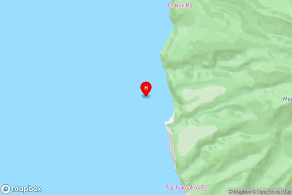
Hauraki GulfNgamanauraru Bay Area Map (Street)
Local Authority
AucklandFull Address
Ngamanauraru Bay, Auckland, New ZealandAddress Type
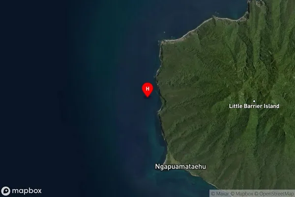
Coastal BayNgamanauraru Bay Suburb Map (Satellite)
Country
Main Region in AU
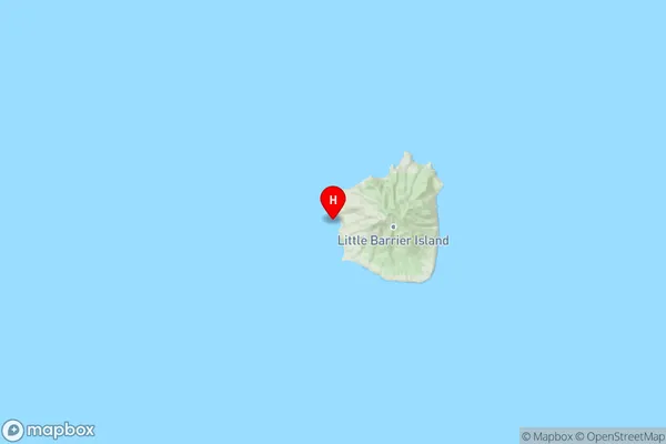
AucklandNgamanauraru Bay Region Map
Coordinates
-36.201113,175.0454208 (latitude/longitude)Distances
The distance from Ngamanauraru Bay, , Auckland to NZ Top 10 Cities