Ngamahau Bay Area, Ngamahau Bay Postcode & Map in Ngamahau Bay
Ngamahau Bay Area, Ngamahau Bay Postcode & Map in Ngamahau Bay, Marlborough District, New Zealand
Ngamahau Bay, Marlborough District, New Zealand
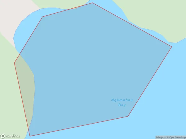
Ngamahau Bay Area (estimated)
0.1 square kilometersNgamahau Bay Population (estimated)
0 people live in Ngamahau Bay, Marlborough, NZNgamahau Bay Suburb Area Map (Polygon)
Ngamahau Bay Introduction
Ngamahau Bay is a popular spot for swimming, kayaking, and fishing in Marlborough, New Zealand. It is also known for its stunning sunsets and rugged coastline. The bay is located on the southern coast of the Marlborough region and is part of the Kahurangi National Park.Region
Suburb Name
Ngamahau Bay (Maori Name: Ngāmahau Bay)Other Name(s)
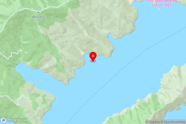
Queen Charlotte Sound (Totaranui)Ngamahau Bay Area Map (Street)
Local Authority
Marlborough DistrictFull Address
Ngamahau Bay, Marlborough District, New ZealandAddress Type
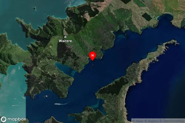
Coastal BayNgamahau Bay Suburb Map (Satellite)
Country
Main Region in AU
MarlboroughNgamahau Bay Region Map

Coordinates
-41.2214998,174.2689437 (latitude/longitude)Distances
The distance from Ngamahau Bay, , Marlborough District to NZ Top 10 Cities