Ngakuta Bay Area, Ngakuta Bay Postcode(7220) & Map in Ngakuta Bay
Ngakuta Bay Area, Ngakuta Bay Postcode(7220) & Map in Ngakuta Bay, Marlborough District, New Zealand
Ngakuta Bay, Marlborough District, New Zealand
Ngakuta Bay Postcodes
Ngakuta Bay Area (estimated)
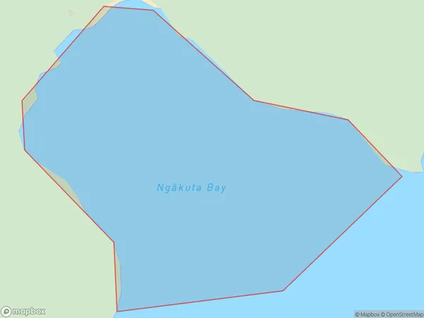
0.2 square kilometersNgakuta Bay Population (estimated)
0 people live in Ngakuta Bay, Marlborough, NZNgakuta Bay Suburb Area Map (Polygon)
Ngakuta Bay Introduction
Ngakuta Bay is a small, sheltered bay located in the Marlborough region of New Zealand's South Island. It is known for its calm waters, beautiful beaches, and stunning coastal scenery. The bay is a popular spot for swimming, kayaking, and fishing, and is also home to a small community of residents. The bay is surrounded by lush green hills and is located within the Marlborough Sounds, a UNESCO World Heritage Site.Region
Suburb Name
Ngakuta Bay (Maori Name: Ngākuta Bay)Other Name(s)
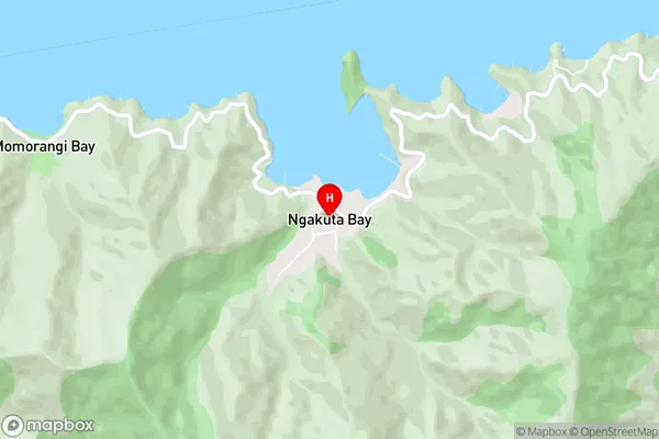
Onauku Bay, East Bay, Queen Charlotte Sound (Totaranui)Ngakuta Bay Area Map (Street)
Local Authority
Marlborough DistrictFull Address
Ngakuta Bay, Marlborough District, New ZealandAddress Type
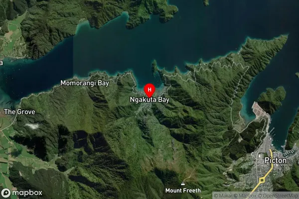
Coastal BayNgakuta Bay Suburb Map (Satellite)
Country
Main Region in AU
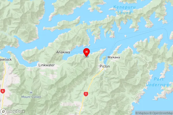
MarlboroughNgakuta Bay Region Map
Coordinates
-41.2751294,173.9635254 (latitude/longitude)Distances
The distance from Ngakuta Bay, , Marlborough District to NZ Top 10 Cities