Ngaio Bay Area, Ngaio Bay Postcode(7197) & Map in Ngaio Bay
Ngaio Bay Area, Ngaio Bay Postcode(7197) & Map in Ngaio Bay, Tasman District, New Zealand
Ngaio Bay, Tasman District, New Zealand
Ngaio Bay Postcodes
Ngaio Bay Area (estimated)
-1.2 square kilometersNgaio Bay Population (estimated)
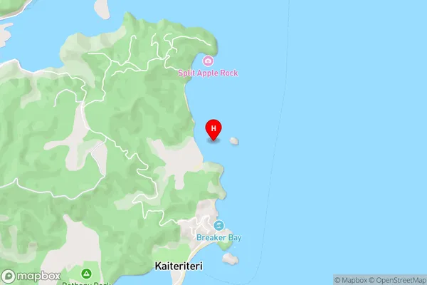
0 people live in Ngaio Bay, Tasman, NZNgaio Bay Suburb Area Map (Polygon)
Not available for nowRegion
Suburb Name
Ngaio BayOther Name(s)
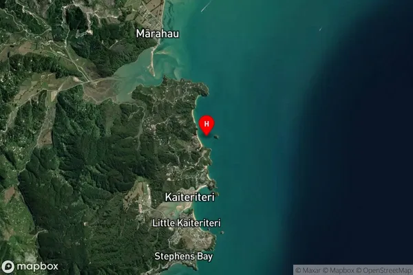
Tasman BayNgaio Bay Area Map (Street)
Local Authority
Tasman DistrictFull Address
Ngaio Bay, Tasman District, New ZealandAddress Type
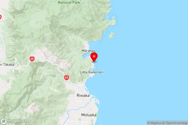
Coastal BayNgaio Bay Suburb Map (Satellite)
Country
Main Region in AU
TasmanNgaio Bay Region Map
Coordinates
-41.0257308,173.0208811 (latitude/longitude)Distances
The distance from Ngaio Bay, , Tasman District to NZ Top 10 Cities