Manaroa Area, Manaroa Postcode(7282) & Map in Manaroa
Manaroa Area, Manaroa Postcode(7282) & Map in Manaroa, Marlborough District, New Zealand
Manaroa, Marlborough District, New Zealand
Manaroa Postcodes
Manaroa Area (estimated)
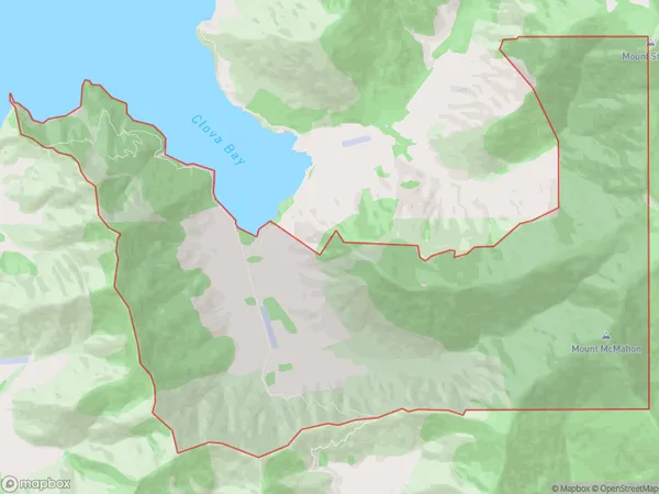
29.2 square kilometersManaroa Population (estimated)
6 people live in Manaroa, Marlborough, NZManaroa Suburb Area Map (Polygon)
Manaroa Introduction
Manaroa is a small, secluded bay located in the Marlborough Sounds of New Zealand. It is surrounded by lush green hills and is known for its calm, clear waters and stunning natural beauty. The bay is a popular spot for kayaking, sailing, and fishing, and it is home to a variety of wildlife, including seals, dolphins, and penguins. Visitors can also enjoy hiking and mountain biking in the surrounding area.Region
0Suburb Name
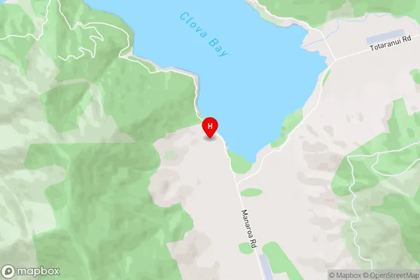
ManaroaManaroa Area Map (Street)
Local Authority
Marlborough DistrictFull Address
Manaroa, Marlborough District, New ZealandAddress Type
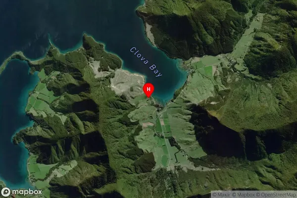
Locality in Major Locality Marlborough SoundsManaroa Suburb Map (Satellite)
Country
Main Region in AU
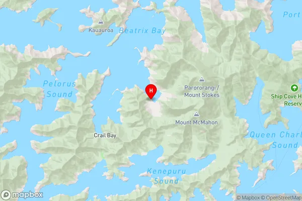
MarlboroughManaroa Region Map
Coordinates
-41.1119037,174.0327881 (latitude/longitude)Distances
The distance from Manaroa, Marlborough Sounds, Marlborough District to NZ Top 10 Cities