Motunau Bay Area, Motunau Bay Postcode(0622) & Map in Motunau Bay
Motunau Bay Area, Motunau Bay Postcode(0622) & Map in Motunau Bay, Auckland, New Zealand
Motunau Bay, Auckland, New Zealand
Motunau Bay Postcodes
Motunau Bay Area (estimated)
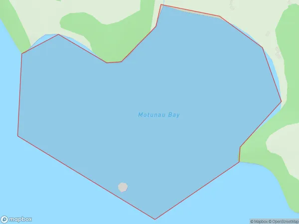
0.6 square kilometersMotunau Bay Population (estimated)
6 people live in Motunau Bay, Waiheke, NZMotunau Bay Suburb Area Map (Polygon)
Motunau Bay Introduction
Motunau Bay is a small, sheltered bay located in the Hauraki Gulf of Auckland, New Zealand. It is known for its clear waters, sandy beaches, and stunning coastal scenery. The bay is a popular spot for swimming, kayaking, and paddleboarding, and is also home to a small community of residents. The bay is surrounded by picturesque farmland and is located within the Waitemata Harbour, which is a major gateway for trade and tourism in New Zealand.Region
Major City
Suburb Name
Motunau BayOther Name(s)
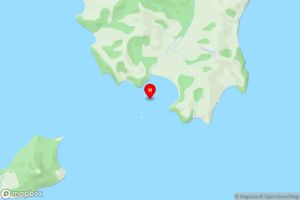
Hauraki GulfMotunau Bay Area Map (Street)
Local Authority
AucklandFull Address
Motunau Bay, Auckland, New ZealandAddress Type
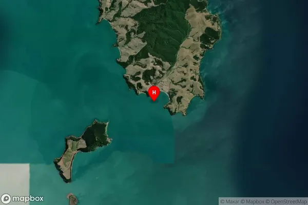
Coastal BayMotunau Bay Suburb Map (Satellite)
Country
Main Region in AU
AucklandMotunau Bay Region Map

Coordinates
-36.8979627,175.1842811 (latitude/longitude)Distances
The distance from Motunau Bay, , Auckland to NZ Top 10 Cities