Mohunga Bay Area, Mohunga Bay Postcode(0622) & Map in Mohunga Bay
Mohunga Bay Area, Mohunga Bay Postcode(0622) & Map in Mohunga Bay, Auckland, New Zealand
Mohunga Bay, Auckland, New Zealand
Mohunga Bay Postcodes
Mohunga Bay Area (estimated)
0.0 square kilometersMohunga Bay Population (estimated)
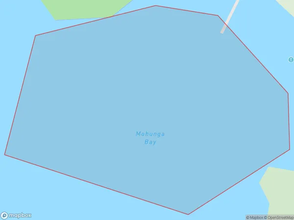
0 people live in Mohunga Bay, Aotea Great Barrier, NZMohunga Bay Suburb Area Map (Polygon)
Mohunga Bay Introduction
Mohunga Bay is a small, sheltered bay located in the Auckland region of New Zealand. It is known for its clear waters, sandy beaches, and stunning coastal scenery. The bay is a popular spot for swimming, kayaking, and fishing, and is also home to a small community of residents. The bay is surrounded by native bush and has a rich history and cultural significance to the local Māori people.Region
Major City
Suburb Name
Mohunga BayOther Name(s)
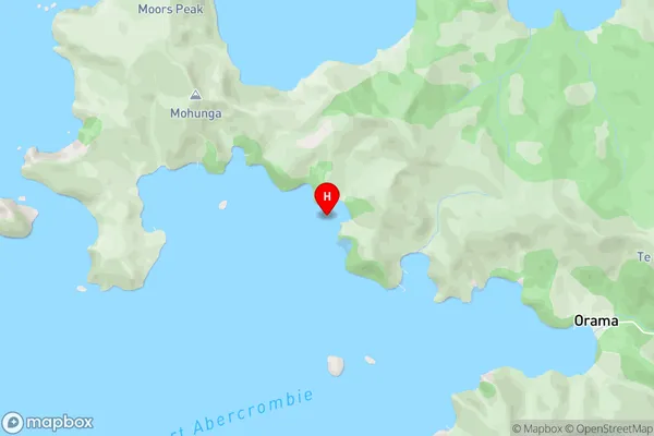
Port Abercrombie, Hauraki GulfMohunga Bay Area Map (Street)
Local Authority
AucklandFull Address
Mohunga Bay, Auckland, New ZealandAddress Type
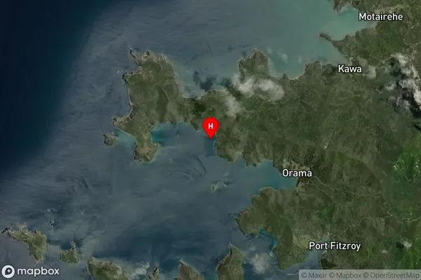
Coastal BayMohunga Bay Suburb Map (Satellite)
Country
Main Region in AU
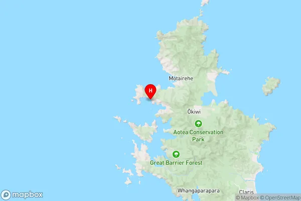
AucklandMohunga Bay Region Map
Coordinates
-36.1428982,175.3333735 (latitude/longitude)Distances
The distance from Mohunga Bay, , Auckland to NZ Top 10 Cities