Misery Bay Area, Misery Bay Postcode & Map in Misery Bay
Misery Bay Area, Misery Bay Postcode & Map in Misery Bay, Area outside Territorial Authority,
Misery Bay, Area outside Territorial Authority,
Misery Bay Area (estimated)
0.1 square kilometersMisery Bay Population (estimated)
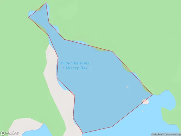
0 people live in Misery Bay, Brighton, NZMisery Bay Suburb Area Map (Polygon)
Misery Bay Introduction
Misery Bay is a small, secluded bay located in the southern region of New Zealand's Otago Peninsula. It is known for its stunning natural beauty, including rugged cliffs, crystal-clear waters, and a peaceful atmosphere. The bay is a popular spot for fishing, kayaking, and hiking, and it is surrounded by dense forest and picturesque farmland. Despite its remote location, Misery Bay is accessible by road and has a small community of residents who rely on tourism and fishing for their livelihood.Region
Major City
Suburb Name
Misery BayMisery Bay Area Map (Street)
Local Authority
Area outside Territorial AuthorityFull Address
Misery Bay, Area outside Territorial Authority,Address Type
Coastal BayMisery Bay Suburb Map (Satellite)
Country
Main Region in AU
OtagoMisery Bay Region Map
Coordinates
0,0 (latitude/longitude)Distances
The distance from Misery Bay, , Area outside Territorial Authority to NZ Top 10 Cities