Maunganui Bay Area, Maunganui Bay Postcode & Map in Maunganui Bay
Maunganui Bay Area, Maunganui Bay Postcode & Map in Maunganui Bay, Far North District, New Zealand
Maunganui Bay, Far North District, New Zealand
Maunganui Bay Area (estimated)
1.4 square kilometersMaunganui Bay Population (estimated)
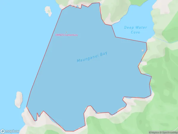
0 people live in Maunganui Bay, Bay of Islands-Whangaroa Community, NZMaunganui Bay Suburb Area Map (Polygon)
Maunganui Bay Introduction
Maunganui Bay is a large bay on the east coast of Northland, New Zealand. It is known for its stunning beaches, clear waters, and vibrant marine life. The bay is a popular destination for swimming, surfing, and fishing, and is home to several species of whales and dolphins. Maunganui Bay is also a significant cultural and historical site, with several important Maori settlements located along its shores.Region
Major City
Suburb Name
Maunganui BayOther Name(s)
Bay Of IslandsMaunganui Bay Area Map (Street)

Local Authority
Far North DistrictFull Address
Maunganui Bay, Far North District, New ZealandAddress Type
Coastal BayMaunganui Bay Suburb Map (Satellite)

Country
Main Region in AU
NorthlandMaunganui Bay Region Map

Coordinates
-35.19667165,174.297283491973 (latitude/longitude)Distances
The distance from Maunganui Bay, , Far North District to NZ Top 10 Cities