Mason Bay Area, Mason Bay Postcode & Map in Mason Bay
Mason Bay Area, Mason Bay Postcode & Map in Mason Bay, Area outside Territorial Authority, New Zealand
Mason Bay, Area outside Territorial Authority, New Zealand
Mason Bay Area (estimated)
50.3 square kilometersMason Bay Population (estimated)
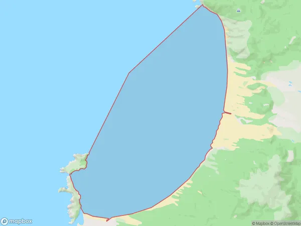
0 people live in Mason Bay, Southland, NZMason Bay Suburb Area Map (Polygon)
Mason Bay Introduction
Mason Bay is a small, shallow bay located in the Southland region of New Zealand. It is situated between the Southern Alps and the Fiordland National Park and is known for its clear waters and stunning coastal scenery. The bay is a popular spot for fishing, kayaking, and swimming, and is home to a variety of bird species, including penguins and seals.Region
Suburb Name
Mason BayMason Bay Area Map (Street)
Local Authority
Area outside Territorial AuthorityFull Address
Mason Bay, Area outside Territorial Authority, New ZealandAddress Type
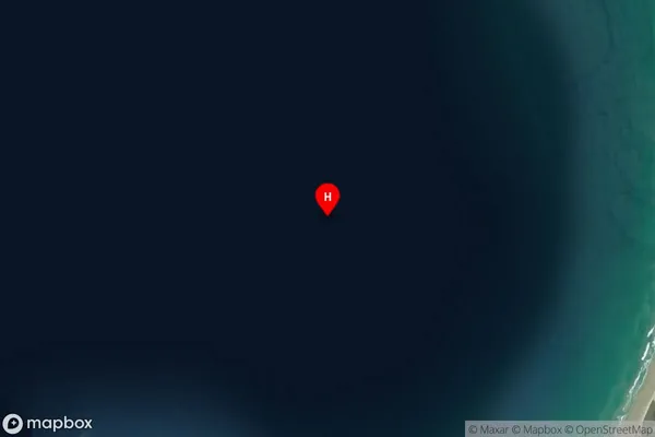
Coastal BayMason Bay Suburb Map (Satellite)
Country
Main Region in AU
SouthlandMason Bay Region Map

Coordinates
-46.9138463,167.7090203 (latitude/longitude)Distances
The distance from Mason Bay, , Area outside Territorial Authority to NZ Top 10 Cities