Mangahawea Bay Area, Mangahawea Bay Postcode & Map in Mangahawea Bay
Mangahawea Bay Area, Mangahawea Bay Postcode & Map in Mangahawea Bay, Far North District, New Zealand
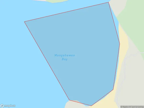
Mangahawea Bay, Far North District, New Zealand
Mangahawea Bay Area (estimated)
0.1 square kilometersMangahawea Bay Population (estimated)
0 people live in Mangahawea Bay, Bay of Islands-Whangaroa Community, NZMangahawea Bay Suburb Area Map (Polygon)
Mangahawea Bay Introduction
Mangahawea Bay is a large bay in Northland, New Zealand. It is located between the Aupouri Peninsula and the Northland coast. The bay is known for its clear waters, sandy beaches, and diverse marine life. It is also a popular destination for fishing, kayaking, and snorkeling. The bay is home to several species of birds, including the rare North Island brown kiwi.Region
Major City
Suburb Name
Mangahawea BayOther Name(s)
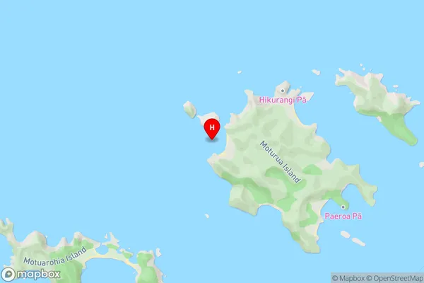
Bay Of IslandsMangahawea Bay Area Map (Street)
Local Authority
Far North DistrictFull Address
Mangahawea Bay, Far North District, New ZealandAddress Type
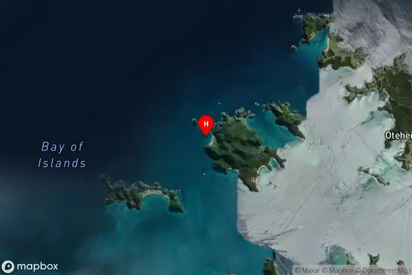
Coastal BayMangahawea Bay Suburb Map (Satellite)
Country
Main Region in AU
NorthlandMangahawea Bay Region Map

Coordinates
-35.2211616,174.1824021 (latitude/longitude)Distances
The distance from Mangahawea Bay, , Far North District to NZ Top 10 Cities