Long Harry Bay Area, Long Harry Bay Postcode & Map in Long Harry Bay
Long Harry Bay Area, Long Harry Bay Postcode & Map in Long Harry Bay, Area outside Territorial Authority, New Zealand
Long Harry Bay, Area outside Territorial Authority, New Zealand
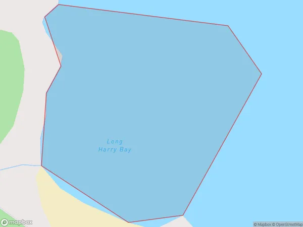
Long Harry Bay Area (estimated)
0.1 square kilometersLong Harry Bay Population (estimated)
0 people live in Long Harry Bay, Southland, NZLong Harry Bay Suburb Area Map (Polygon)
Long Harry Bay Introduction
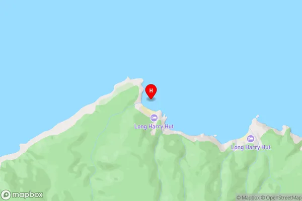
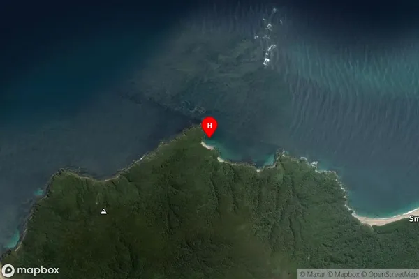
Long Harry Bay is a small, sheltered bay located in Fiordland National Park in Southland, New Zealand. It is surrounded by rugged mountain terrain and is a popular spot for hiking, camping, and fishing. The bay is named after a British sailor who visited the area in the 18th century.Region
Suburb Name
Long Harry BayLong Harry Bay Area Map (Street)
Local Authority
Area outside Territorial AuthorityFull Address
Long Harry Bay, Area outside Territorial Authority, New ZealandAddress Type
Coastal BayLong Harry Bay Suburb Map (Satellite)
Country
Main Region in AU
SouthlandLong Harry Bay Region Map

Coordinates
-46.68985,167.7906 (latitude/longitude)Distances
The distance from Long Harry Bay, , Area outside Territorial Authority to NZ Top 10 Cities