Lee Cove Area, Lee Cove Postcode & Map in Lee Cove
Lee Cove Area, Lee Cove Postcode & Map in Lee Cove, Area outside Territorial Authority, New Zealand
Lee Cove, Area outside Territorial Authority, New Zealand
Lee Cove Area (estimated)
0.1 square kilometersLee Cove Population (estimated)
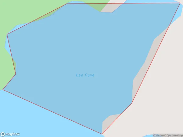
0 people live in Lee Cove, Southland, NZLee Cove Suburb Area Map (Polygon)
Lee Cove Introduction
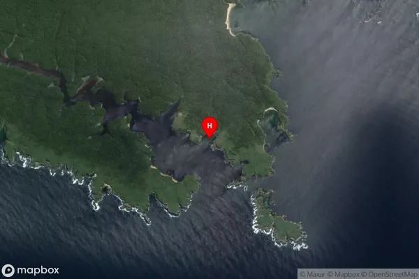
Lee Cove is a small, sheltered beach located in Fiordland National Park in Southland, New Zealand. It is known for its clear waters, stunning rock formations, and peaceful atmosphere, making it a popular spot for swimming, kayaking, and hiking. The cove is surrounded by dense forest and towering mountains, providing a sense of isolation and tranquility. Lee Cove is accessible via a short walk from the parking area and is a must-visit destination for nature lovers and adventure seekers alike.Region
Suburb Name
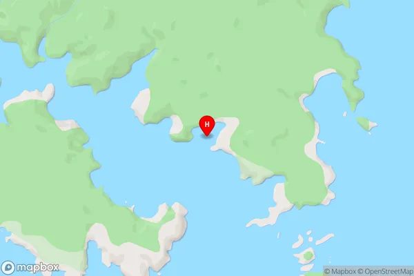
Lee CoveLee Cove Area Map (Street)
Local Authority
Area outside Territorial AuthorityFull Address
Lee Cove, Area outside Territorial Authority, New ZealandAddress Type
Coastal BayLee Cove Suburb Map (Satellite)
Country
Main Region in AU
SouthlandLee Cove Region Map

Coordinates
-47.110472,168.138 (latitude/longitude)Distances
The distance from Lee Cove, , Area outside Territorial Authority to NZ Top 10 Cities