Kotoitoi Bay Area, Kotoitoi Bay Postcode & Map in Kotoitoi Bay
Kotoitoi Bay Area, Kotoitoi Bay Postcode & Map in Kotoitoi Bay, Marlborough District, New Zealand
Kotoitoi Bay, Marlborough District, New Zealand
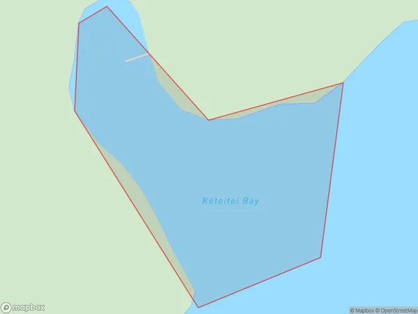
Kotoitoi Bay Area (estimated)
0.1 square kilometersKotoitoi Bay Population (estimated)
0 people live in Kotoitoi Bay, Marlborough, NZKotoitoi Bay Suburb Area Map (Polygon)
Kotoitoi Bay Introduction
Kotoitoi Bay is a picturesque and peaceful bay located in Marlborough, New Zealand. It is known for its stunning turquoise waters, white sandy beaches, and stunning coastal scenery. The bay is a popular spot for swimming, kayaking, and fishing, and it is also home to a variety of wildlife, including seals, dolphins, and penguins. The bay is surrounded by lush green hills and vineyards, and it offers a peaceful and tranquil escape from the hustle and bustle of city life.Region
Suburb Name
Kotoitoi Bay (Maori Name: Kōtoitoi Bay)Other Name(s)
Queen Charlotte Sound (Totaranui)Kotoitoi Bay Area Map (Street)
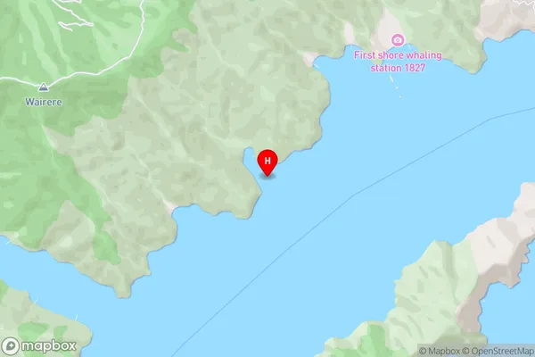
Local Authority
Marlborough DistrictFull Address
Kotoitoi Bay, Marlborough District, New ZealandAddress Type
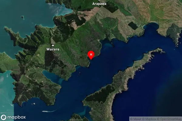
Coastal BayKotoitoi Bay Suburb Map (Satellite)
Country
Main Region in AU
MarlboroughKotoitoi Bay Region Map

Coordinates
-41.2176358,174.2753883 (latitude/longitude)Distances
The distance from Kotoitoi Bay, , Marlborough District to NZ Top 10 Cities